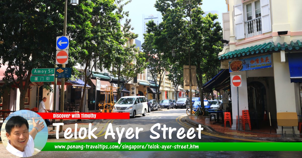
 Telok Ayer Street, Singapore (1 August 2017)
Telok Ayer Street is a street in the Downtown Core, Singapore. This curving street was named after Telok Ayer, a watery bay that used to wash right up to the street during the 19th century.
Before the Telok Ayer Reclamation, which was completed around 1885, Telok Ayer Street was the main commercial street in the Chinatown part of the city. It was also here, between 1850 and 1870, that slaves were traded. As the street was along the shoreline, bullock carts were parked along it waiting for boats that come up the bay.
The inhabitants of Telok Ayer Street during the 19th century were mostly non-Europeans, and this can be reflected in the many places of worship of the various religions, among them the Thian Hock Keng Temple, Nagore Durgha Shrine, Al-Abrar Mosque and Fuk Tak Chi Temple (now museum).
The reclamation of the sea off Telok Ayer Street extended the shoreline outwards, enabling new streets such as Cecil Street and Robinson Road to be created. Mount Wallich was however levelled as earth from the hill was used in the reclamation.
The original Telok Ayer Market was located on the northern end of Telok Ayer Street, somewhere between Church Street and Market Street. It was relocated following the reclamation to a new city block at Robinson Road, where it is known today as the Lau Pa Sat.
Map of Telok Ayer Street, Singapore
Sights along Telok Ayer Street
- Amoy Street Food Centre (GPS: 1.27941, 103.84659)

- Fuk Tak Chi Museum (GPS: 1.28291, 103.84873)

- Masjid Al-Abrar (GPS: 1.28036, 103.84722)

- Nagore Durgha Shrine (GPS: 1.28144, 103.84785)

- Singapore Musical Box Museum (GPS: 1.28083, 103.84746)

- Telok Ayer Chinese Methodist Church (GPS: 1.27845, 103.84696)

- Telok Ayer Green (GPS: 1.28132, 103.84778)

- Telok Ayer Park (GPS: 1.27804, 103.84664)

- The Clift (GPS: 1.2795, 103.84733)

- Thian Hock Keng Temple (GPS: 1.28093, 103.84763)

- Ying Fo Fui Kun (GPS: 1.2825, 103.8485)

How to reach Telok Ayer Street
You can take the East-West Line to the Tanjong Pagar MRT Station (EW15) to reach the southern end of Telok Ayer Street, or take the East-West Line or North-South Line to the Raffles Place MRT Station (NS26/EW14) to reach the northern end of the street.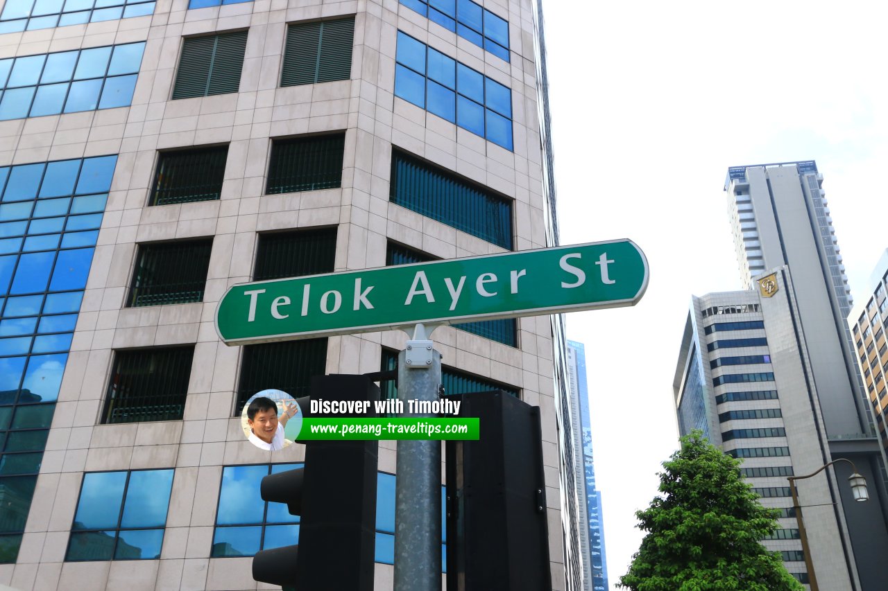 Telok Ayer Street roadsign (1 August 2017)
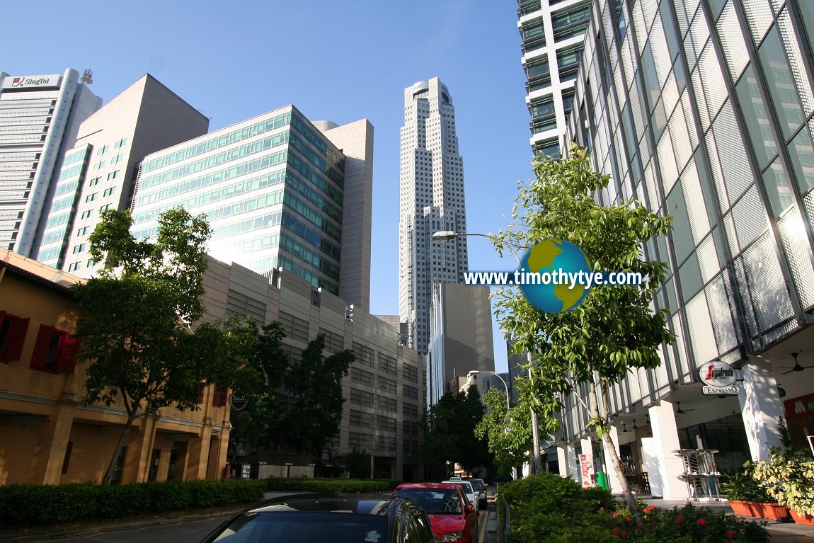 Telok Ayer Street, Singapore (11 September, 2010)
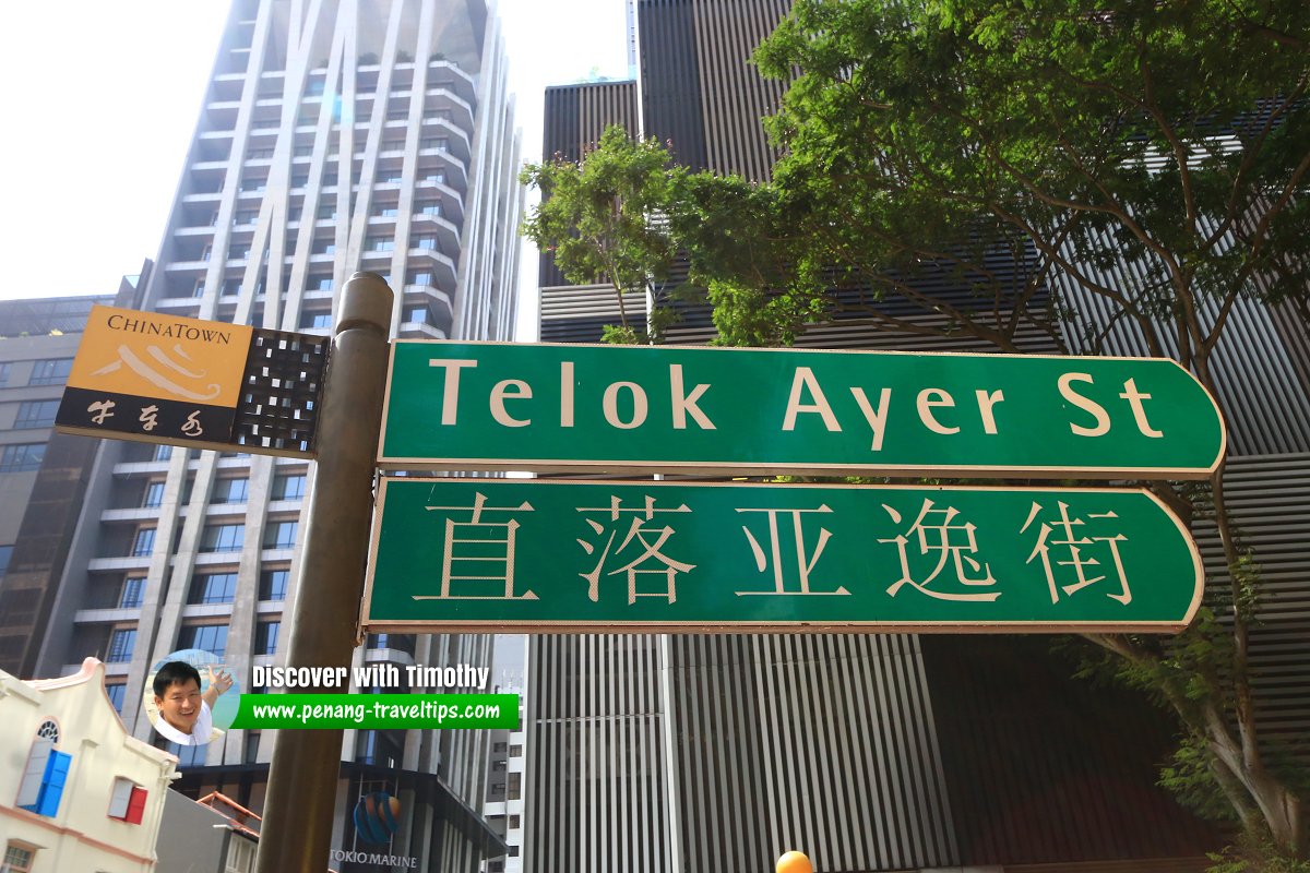 Telok Ayer St. roadsign (1 August 2017)
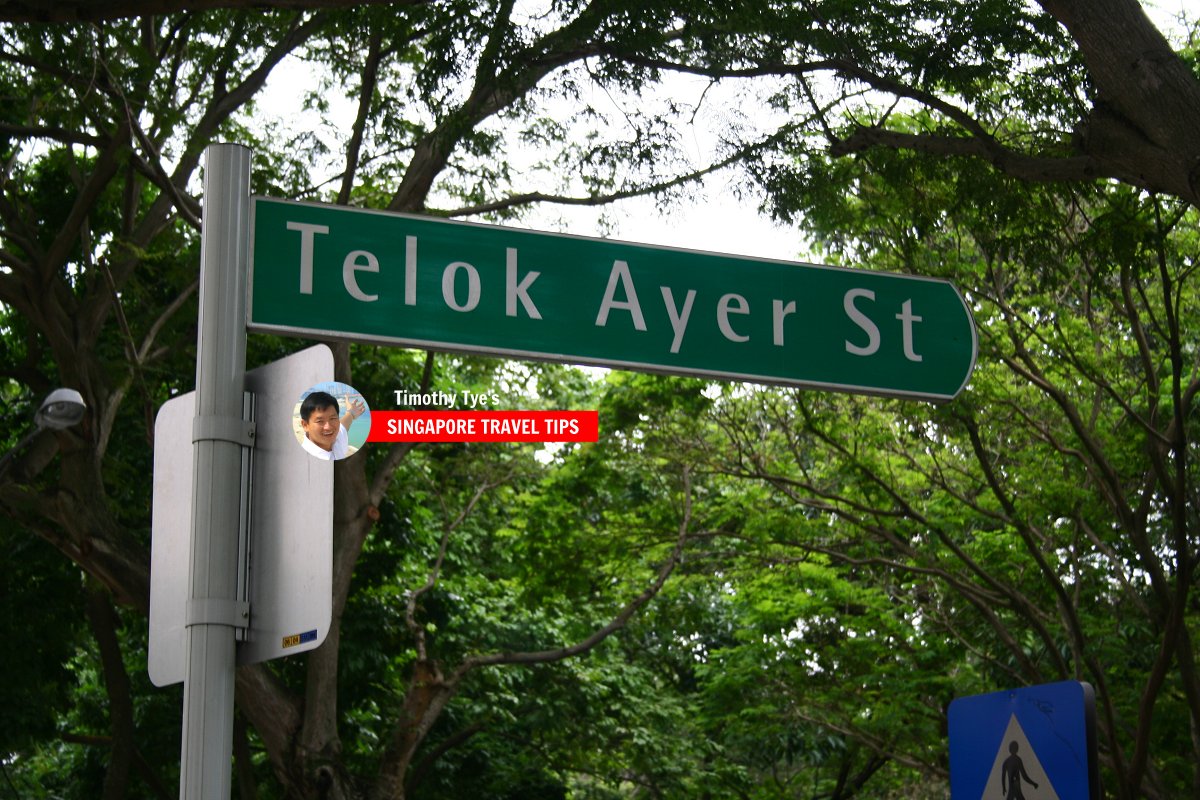 Telok Ayer Street roadsign (10 July, 2006)
Telok Ayer Street Singapore on Google Street View
Telok Ayer Street Singapore (Dec 2022)References
- Singapore Street Names - A Study of Toponymics by Victor R Savage and Brenda S.A. Yeoh (2013), ISBN 978-981-4408-35-6
List of the Streets in Singapore; Discover Singapore
 Copyright © 2003-2025 Timothy Tye. All Rights Reserved.
Copyright © 2003-2025 Timothy Tye. All Rights Reserved.

 Go Back