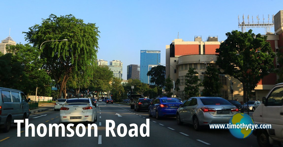
 Thomson Road, Singapore (27 July 2017)
Thomson Road is one of the main roads in Singapore. It runs from Lornie Road in the north to Keng Lee Road in the south, passing through Novena to the west and Toa Payoh to the east.
Expressways intersecting with Thomson Road include the Pan Island Expressway and the Central Expressway. Among the roads that form junctions with Thomson Road include (from north to south) Marymount Road, Toa Payoh Rise, Thomson Lane, Balestier Road, Novena Rise, Novena Terrace, Irrawaddy Road, Moulmein Road, Jalan Jati, Essex Road, Derbyshire Road and Norfolk Road on the east side; and Olive Road, Andrew Road, Jalan Mashhor, Mount Pleasant Road, Whitley Road, Jalan Merlimau, Chancery Lane, Newton Road, Goldhill Plaza and Suffolk Walk.
Thomson Road is a major road in Singapore, located in the northern part of the island. It is known for its lush greenery, as it runs through several parks and nature reserves such as the Lower Pierce Reservoir and the Central Catchment Nature Reserve. The road is a popular destination for outdoor enthusiasts and nature lovers, who come to hike, bike, or simply enjoy the scenic views.
Along Thomson Road, you will also find a number of residential areas, shopping centers, and dining options. The street is well-connected to public transportation, with several bus stops and MRT stations located along its route.
Despite its proximity to urban areas, Thomson Road feels serene and removed from the hustle and bustle of the city, making it a great escape for those seeking a peaceful and natural environment. Whether you are looking to explore the great outdoors or simply enjoy a leisurely drive, Thomson Road is an excellent destination.
Thomson Road was originally called Seletar Road. When a proper road was laid out by Government Surveyor John Turnbull Thomson around 1952, the resulting road was subsequently named after him.1. The road was known in Hokkien (Taiji Romanisation) as Cnia1 Cui1 Kang4 汫水江
 in reference to the Kallang River which passes by it.
Map of Thomson Road, Singapore
Sights along Thomson Road
- Novena Velocity (GPS: 1.31988, 103.84394)

- Thomson Euro-Asia (GPS: 1.31988, 103.84394)

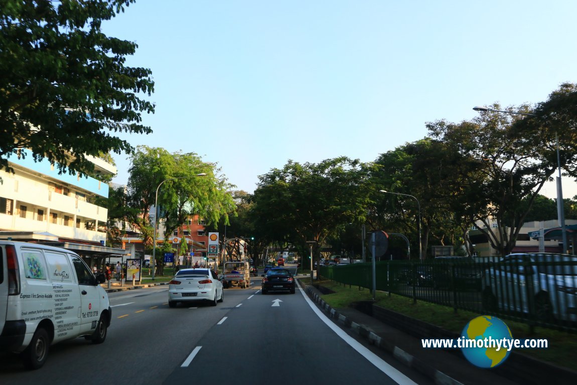
 Thomson Road, south of the Pan Island Expressway. (27 July 2017)
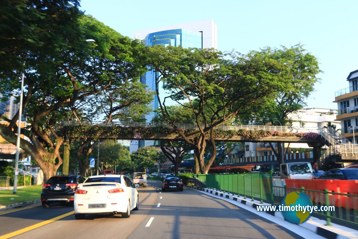
 Thomson Road, south of Balestier Road. (27 July 2017)
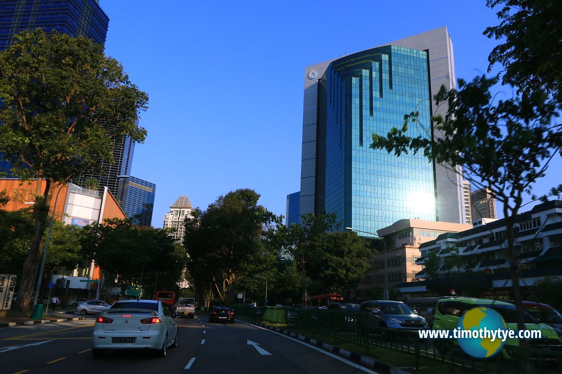
 Thomson Road, near Novena Terrace. (27 July 2017)
Thomson Road Singapore on Google Street View
Thomson Road Singapore (Aug 2022)References
1. Singapore Street Names, by Victor R. Savage and Brenda S.A. Yeoh, page 384List of the Streets in Singapore; Discover Singapore
 Copyright © 2003-2025 Timothy Tye. All Rights Reserved.
Copyright © 2003-2025 Timothy Tye. All Rights Reserved.

 Go Back