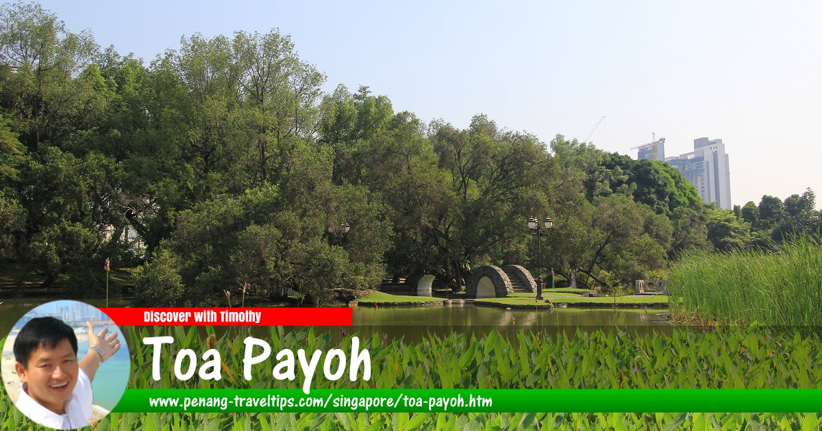
 View of the Toa Payoh Town Park in Toa Payoh, Singapore (11 July 2011)
Toa Payoh
 (GPS: 1.3343, 103.85632) is a planning area in the Central Region of Singapore. The Toa Payoh area is bounded by Braddell Road and Bartley Road to the north, Upper Paya Lebar Road to the east, MacPherson Road and Jalan Toa Payoh to the south and Thomson Road to the west.
Toa Payoh is located in Singapore Postal District 12. It covers 8.18 sq km1
The planning area of Toa Payoh comprises 12 neighbourhoods, known as subzones. They are Bidadari, Boon Teck, Braddell, Joo Seng, Kim Keat, Lorong 8 Toa Payoh, Pei Chun, Potong Pasir, Sennett, Toa Payoh Central, Toa Payoh West and Woodleigh.
The name "Toa Payoh" means "big swamp". It is derived from the Hokkien word toa meaning big and payoh, a corruption of "paya", the Malay word for swamp, as in Paya Lebar.
Toa Payoh is bordered by Bishan and Serangoon to the north, Hougang in the east, Geylang in the southeast, Kallang in the south, Novena in the southwest and the Central Water Catchment in the northwest.
Map of Toa Payoh, Singapore
Subzones of Toa Payoh
- Bidadari
- Book Teck
- Joo Seng
- Kim Keat
- Lorong 8 Toa Payoh
- Pei Chun
- Potong Pasir
- Sennett
- Toa Payoh Central
- Toa Payoh West
- Woodleigh
MRT Stations in Toa Payoh, Singapore
- Bartley MRT Station (GPS: 1.34276, 103.87991; CC12)

- Caldecott MRT Station (GPS: 1.33137, 103.86917; CC17/TE19)

- Potong Pasir MRT Station (GPS: 1.33137, 103.86917; NE10)

- Toa Payoh MRT Station (GPS: 1.33776, 103.8394; NS19)

- Tai Seng MRT Station (GPS: 1.3354, 103.88817; CC11)

- Woodleigh MRT Station (GPS: 1.33938, 103.87075; NE11)

Hospitals in Toa Payoh
- Kwong Wai Shiu Hospital @ Potong Pasir (GPS: 1.33502, 103.8638) 51 Potong Pasir Ave 1, Singapore 358400; P: +65 6856 0000

Parks & Recreational Places in Toa Payoh
- Bidadari Park (GPS: 1.3404, 103.87374)

- Bidadari Park Greenway South (GPS: 1.33511, 103.87196)

- Carmichael Road Playground (GPS: 1.34259, 103.863)

- Chempaka Ave Playground (GPS: 1.33186, 103.87562)

- Mulberry Children Playground (GPS: 1.33286, 103.8784) 74 Belimbing Ave, Singapore 349951

- Potong Pasir Residents Garden (GPS: 1.33433, 103.86273) Singapore 350119

- Toa Payoh Swimming Complex temporarily closed (GPS: 1.33056, 103.85047) Lor 6 Toa Payoh, Singapore 319393

- Toa Payoh Town Park temporarily closed (GPS: 1.33066, 103.84795) Lor 6 Toa Payoh, Singapore 319393

Religious Buildings in Toa Payoh
- Masjid Alkaff Upper Serangoon (GPS: 1.33298, 103.87058) 66 Pheng Geck Ave, Singapore 348261; P: +65 6280 0300

- Sri Siva Durga Temple (GPS: 1.33182, 103.86662) 8 Potong Pasir Ave 2, Singapore 358362; P: +65 6284 1898

- Sri Vairavimada Kaliamman Temple (GPS: 1.33501, 103.85903) 2002 Lor 8, Singapore 319259; P: +65 6259 5238

Shopping malls in Toa Payoh
- Prime Supermarket (GPS: 1.33435, 103.87865) 1 Upper Aljunied Ln, #01-01, Singapore 360001; P: +65 6284 7681

- The Poiz Centre (GPS: 1.33865, 103.87176) 51 Upper Serangoon Rd, Singapore 347697; P: +65 8866 3773

- The Woodleigh Mall (GPS: 1.33865, 103.87176) 11 Bidadari Park Dr, Singapore 367803; P: +65 6320 0129

- Toa Payoh Hub (GPS: 1.33177, 103.84756) Lor 6 Toa Payoh, Singapore; P: +65 9382 2888

Schools in Toa Payoh
- Beatty Secondary School (GPS: 1.33339, 103.84257) 1 Toa Payoh N, Singapore 318990; P: +65 6256 9108

- Cedar Girls' Secondary School (GPS: 1.33339, 103.84257) 1 Cedar Ave, Singapore 349692; P: +65 6288 4909

- CHIJ Primary Toa Payoh (GPS: 1.33339, 103.84257) 628 Lor 1, Toa Payoh, Singapore 319765; P: +65 6353 2154

- Maris Stella High School (GPS: 1.34114, 103.87766) 25 Mount Vernon Rd, Singapore 368051; P: +65 6280 3880

- Marymount Convent School (GPS: 1.34061, 103.84001) 20 Marymount Rd, Singapore 297754; P: +65 6256 6701

- Raffles Girls' School (GPS: 1.34331, 103.84287) 2 Braddell Rise, Singapore 318871; P: +65 6737 1845

- Stamford American International School (GPS: 1.33738, 103.86897) 1 Woodleigh Ln, Singapore 357684; P: +65 6653 2949

- St Andrew's Junior School (GPS: 1.33098, 103.86527) 2 Francis Thomas Dr, Singapore 359337; P: +65 6288 4303

- St Andrew's Secondary School (GPS: 1.33133, 103.86601) 15 Francis Thomas Dr, Singapore 359342; P: +65 6285 1944

Getting there
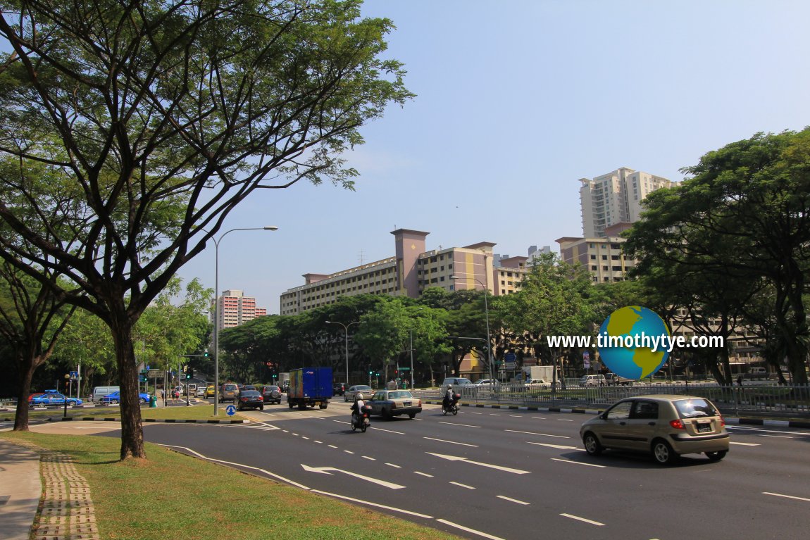
You can reach Toa Payoh by taking the Singapore MRT North-South Line to the Toa Payoh MRT Station (NS19). Lorong 2 Toa Payoh looking towards the intersection with Lorong 6 and Lorong 1. (11 July 2011)
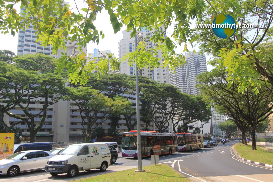
 Lorong 2 Toa Payoh. (11 July 2011)
References
List of Planning Areas in Singapore and Places in Singapore; Discover Singapore
 Copyright © 2003-2025 Timothy Tye. All Rights Reserved.
Copyright © 2003-2025 Timothy Tye. All Rights Reserved.

 Go Back