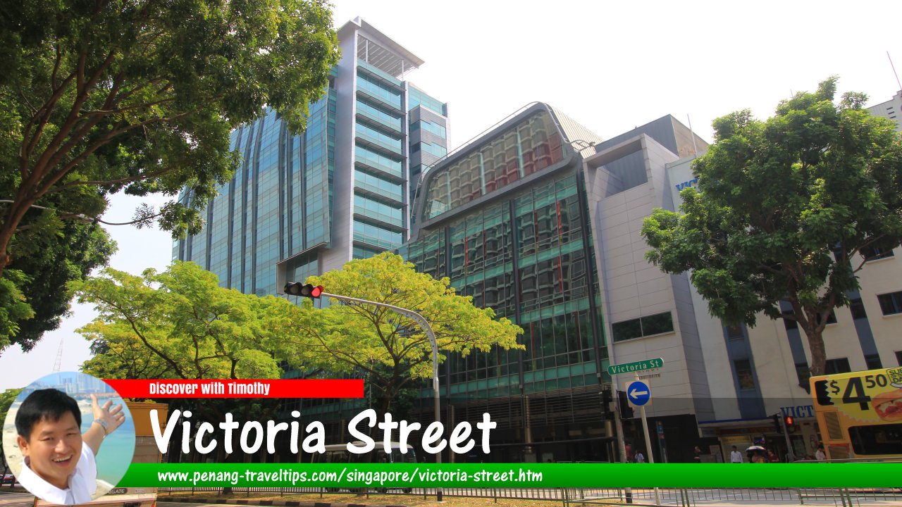
 Victoria Street (7 July 2011)
Victoria Street (Simplified Chinese: 维多利亚街, Traditional Chinese: 維多利亞街, Pinyin: Wéiduōlìyǎ Jiē; Hokkien with Taiji romanisation: Jee33 Bae1lor33, meaning "Second Road") is one of the main streets in Singapore. Named after Queen Victoria (1819-1901), it starts at Rochor Canal, across Victoria Bridge, where it continues as Kallang Road. It then continues in the southwest direction to end at the intersection with Stamford Road, after which it continues as Hill Street.
Along its route, Victoria intersects with Jalan Sultan, Jalan Kubor, Arab Street, Ophir Road, Rochor Road, Middle Road and Bras Basah Road. It also forms junctions with a number of small roads including Victoria Link, Jalan Klapa, Jalan Kledek, Jalan Pisang, Jalan Pinang, Victoria Lane, Cheng Yan Place, Manila Street, Bain Street, and Miller Street.
As one of the early streets of the British settlement, Victoria Street has undergone a name change at least twice. In the earliest map of Lieutenant P. Jackson of 1822, the street was referred to as Rochor Street. However, in the later map by G.D. Coleman in 1836, it appeared as Marbro Street.
Victoria Street was known among the Hokkien in Singapore as Au33 Bae1 Chia3 Lor33, meaning "behind the horse-carriage way" - in reference to its location to the back of North Bridge Road.
Map of Victoria Street, Singapore
Sights along Victoria Street
- Bugis+ (GPS: 1.29958, 103.85421)

- Bugis Junction (GPS: 1.29944, 103.85567)

- Bugis Village (GPS: 1.30041, 103.85483)

- Carlton Hotel Singapore (GPS: 1.29604, 103.85264)

- Cathedral of the Good Shepherd (GPS: 1.2961, 103.8511)

- CHIJMES (GPS: 1.29505, 103.85215)

- Golden Landmark Shopping Mall (GPS: 1.30195, 103.85786)

- Hotel Grand Pacific (GPS: 1.29684, 103.85253)

- LKC School of Business (GPS: 1.29525, 103.85041)

- Malabar Mosque (GPS: 1.30521, 103.85968)

- National Library (GPS: 1.29758, 103.8543)

- Raffles Hospital (GPS: 1.30138, 103.85727)

- SMRT Headquarters (GPS: 1.29436, 103.85174)

- SMU Admin Building (GPS: 1.29696, 103.852)

- St Joseph's Church (GPS: 1.29835, 103.85315)

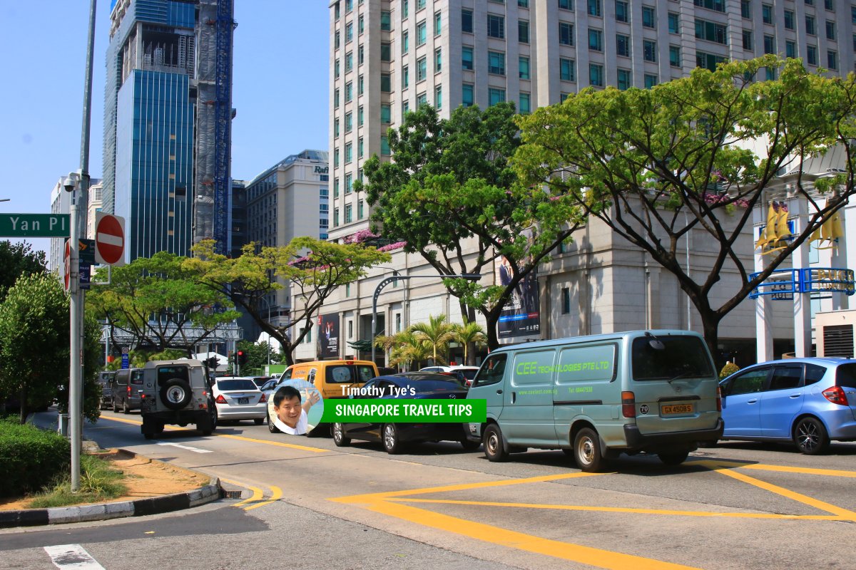 Victoria Street, Singapore (28 July 2017)
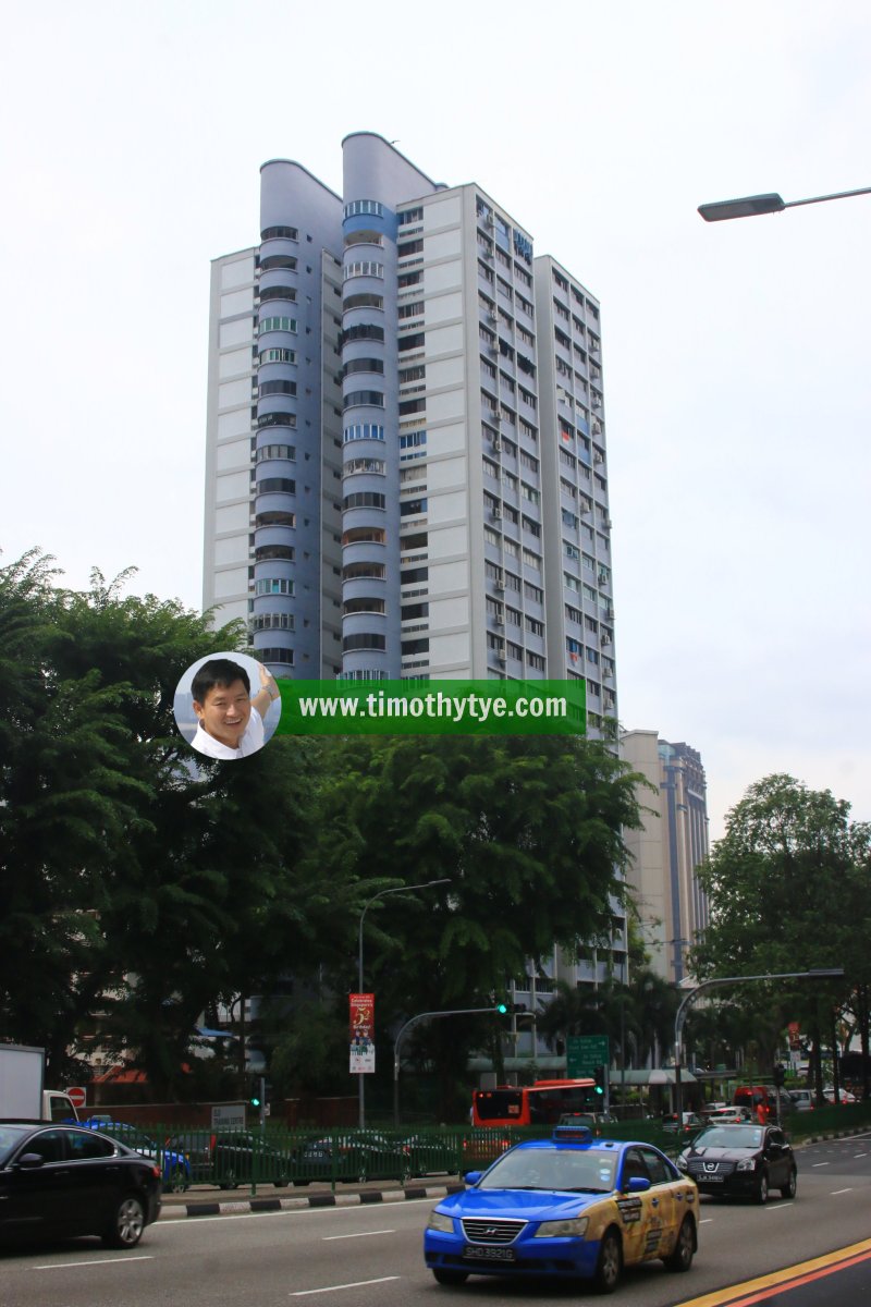 Block 461, Victoria St., Singapore (26 July 2017)
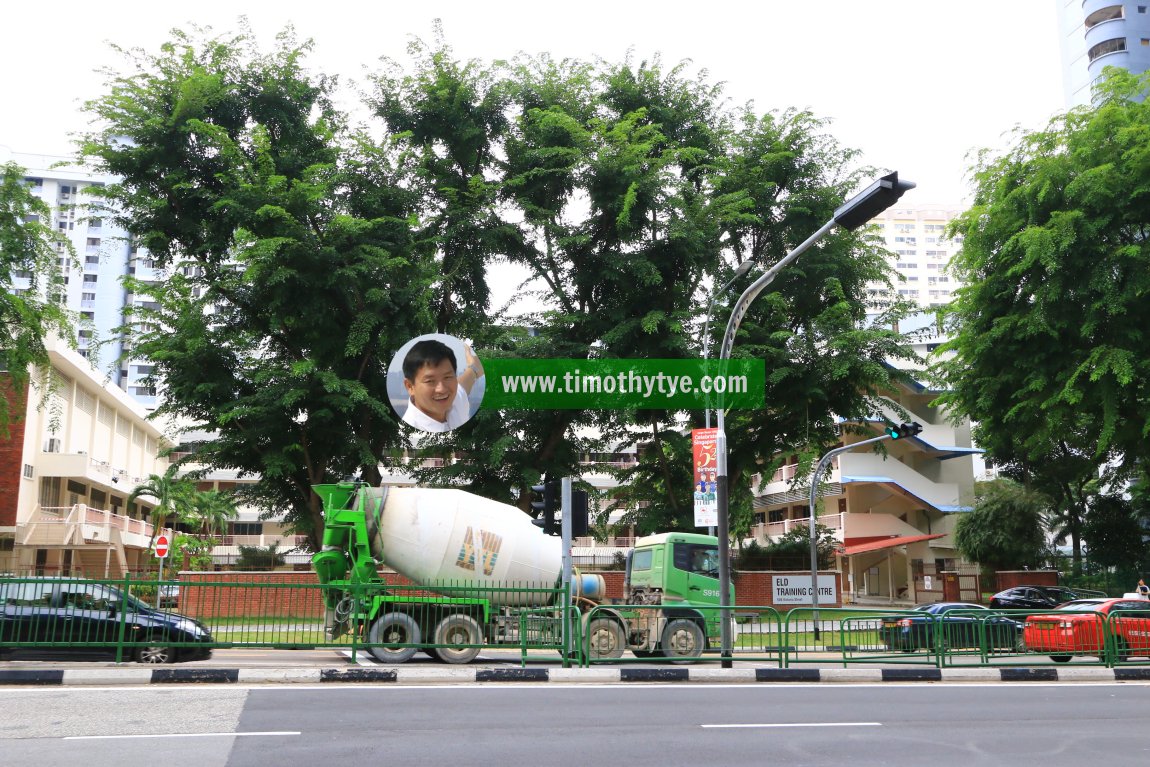 ELD Training Centre, 508 Victoria St., Singapore (26 July 2017)
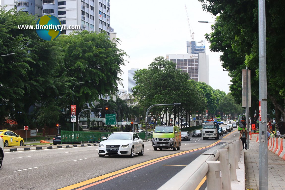 Victoria Street, Singapore (26 July 2017)
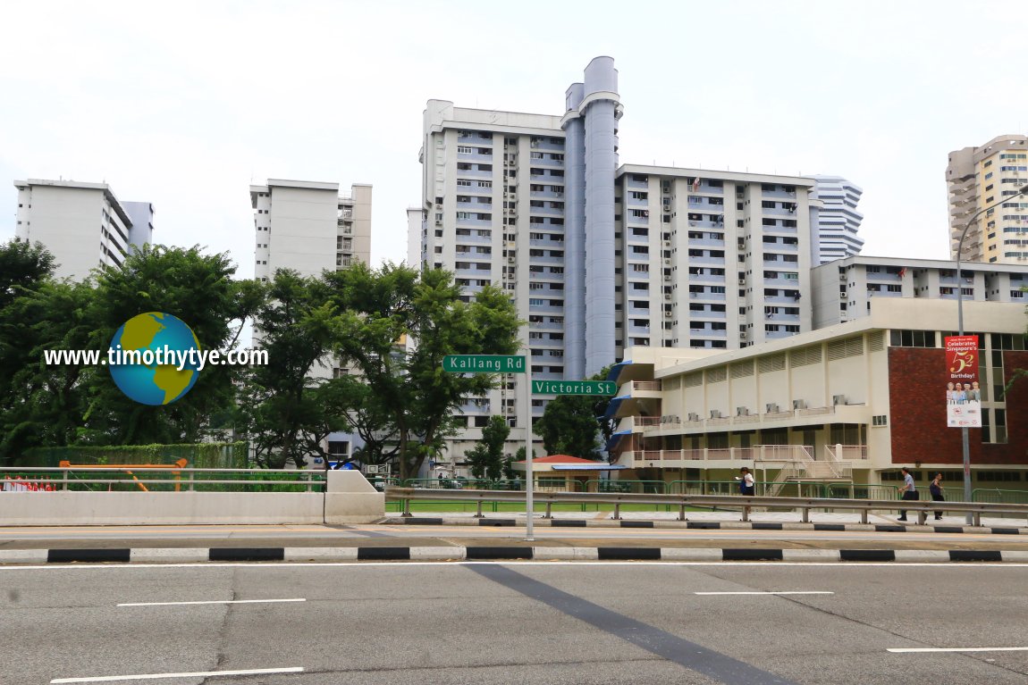 Kallang Road-Victoria Street boundary (26 July 2017)
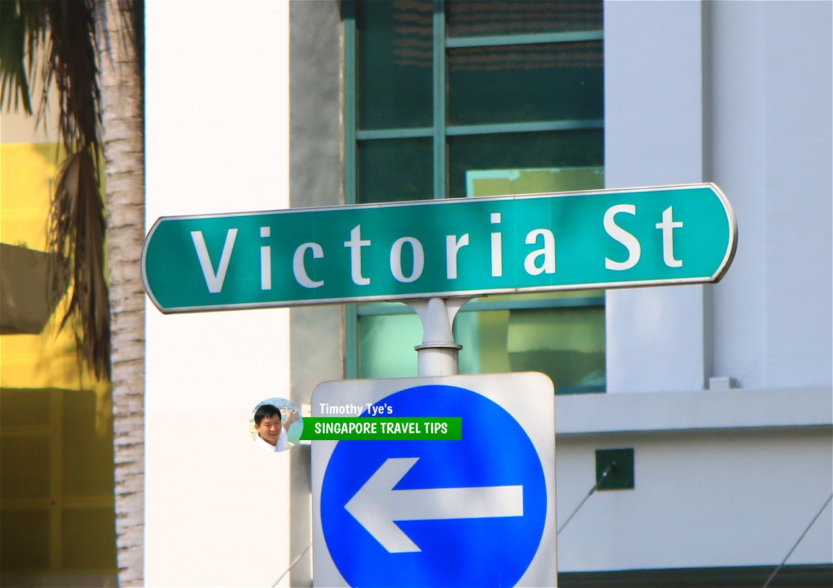 Victoria Street roadsign (28 July 2017)
Victoria Street Singapore on Google Street View
Victoria Street Singapore (Sep 2021)References
- Toponymics - A Study of Singapore Street Names by Victor R Savage and Brenda S.A. Yeoh (2004), ISBN 981-210-364-3List of the Streets in Singapore; Discover Singapore
 Copyright © 2003-2025 Timothy Tye. All Rights Reserved.
Copyright © 2003-2025 Timothy Tye. All Rights Reserved.

 Go Back