 Sungai Batu (17 February 2022)
Sungai Batu (GPS: 5.28591, 100.24073) is the name of the river as well as the coastal village on the southern part of Penang Island, Malaysia. Located between Bayan Lepas and Teluk Kumbar, it is one of those places in Penang that is still untouched by development, though not for long.
Most of the villagers in Sungai Batu are fishermen, and their livelihood was affected when the December 2004 tsunami hit the coastal areas of Penang. Nevertheless, the area has quickly recovered.
 Map of Sungai Batu, Penang
 Sights in Sungai Batu
- Sungai Batu Pillbox (GPS: 5.28429, 100.23714)

- Teluk Bayu (GPS: 5.27988, 100.24052)

- Tasik Teluk Bayu (5.2802, 100.24239)

 Mosques in Sungai Batu
- Masjid Ridwaniah Sungai Batu (GPS: 5.28602, 100.24098)

 Schools in Sungai Batu
- Sekolah Kebangsaan Sungai Batu (GPS: 5.28749, 100.24246)

 Eateries at Sungai Batu
Sungai Batu, Penang
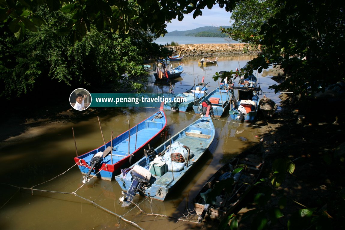 Estuary of Sungai Batu (1 November 2003)
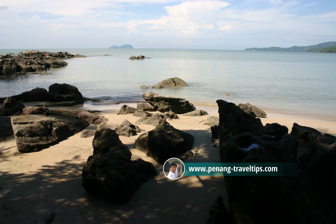 Rocky shoreline of Sungai Batu - perhaps that's why the river got its name. (1 November 2003)
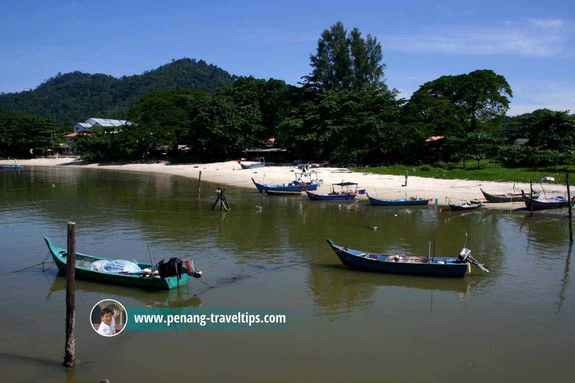 Fishing boats at Sungai Batu. (1 November 2003)
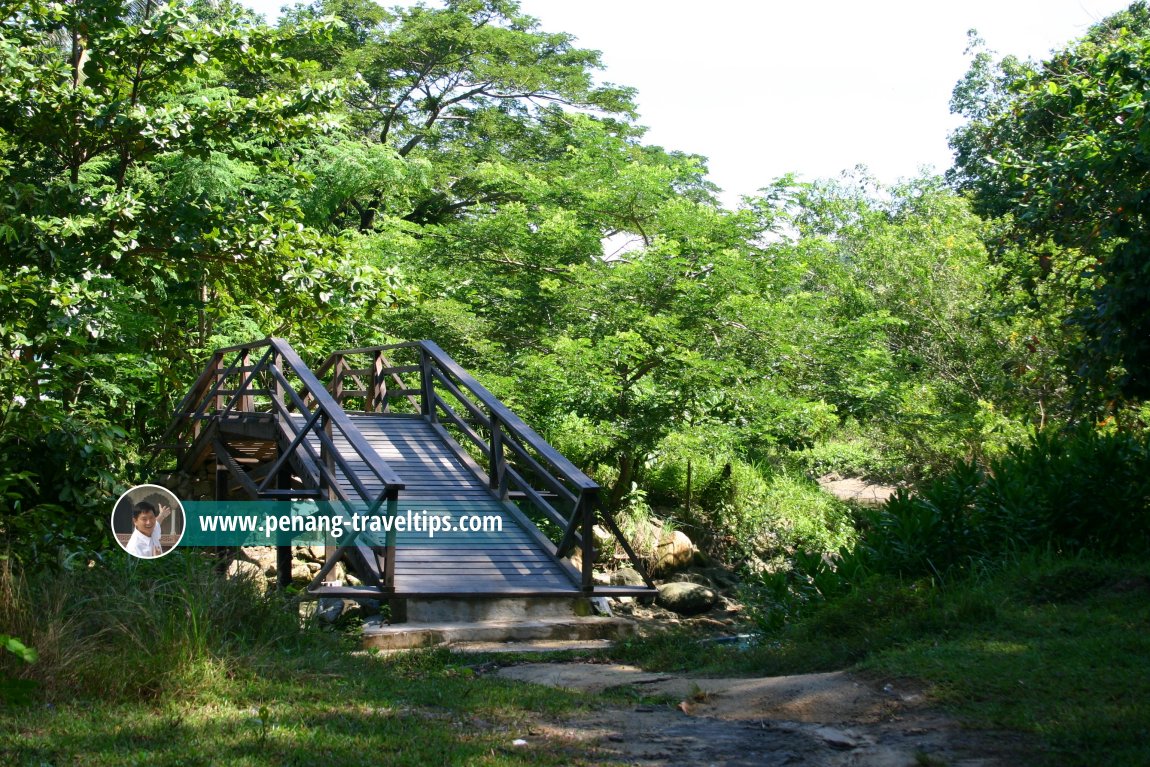 Wooden bridge across Sungai Batu. (1 November 2003)
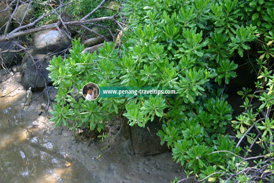 Mangrove trees at Sungai Batu. (1 November 2003)
 Mangrove trees at Sungai Batu. (1 November 2003)
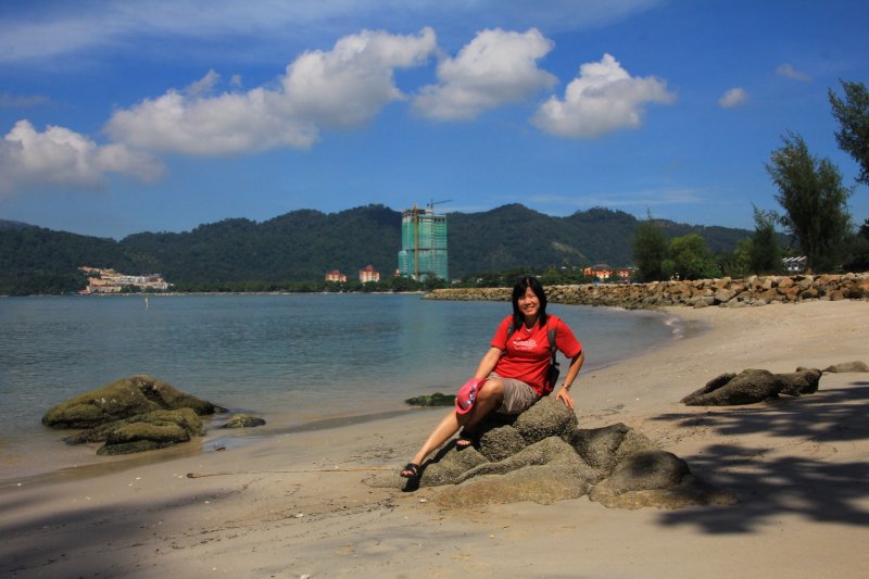 My wife Chooi Yoke at Sungai Batu (29 November 2014)
Sungai Batu on Google Street View
At Sungai Batu is a stretch of beach known as Teluk Bayu. It is the perfect place for a picnics. About fifty meters from the shore of Teluk Bayu is a small lake that was created some decades ago out of sand mining activities. It is now known as Tasik Teluk Bayu. Today new housing estates have sprouted in Sungai Batu. I can see a number of new double storey link houses being built here. At the moment, the village is living one foot in the past and another in the present.
Update
I first described Sungai Batu back in 2003. Since then, the area has undergone rapid residential development, which sits incongrously against the lay-back country life. There are now townhouses being built in the area which is still in transition from rural to urban.Going to Sungai Batu
Rapid Penang 308, 401 and 401E pass along the Teluk Kumbar Main Road. If you rely on the bus, you have to walk from the main road to reach the coast at Sungai Batu.Sungai Batu is  on the Map of Penang
List of Beaches in Penang and Beaches in Malaysia; List of Towns in Penang and Towns in Malaysia

Copyright © 2003-2025 Timothy Tye. All Rights Reserved.

 Go Back