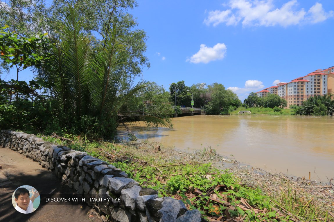
 Sungai Prai, Seberang Prai (29 September 2019)
Prai River, also called Sungai Perai, is a major river in Seberang Perai, Penang. It separates Butterworth to the north from Prai to the south.
The Prai River is not known by that name throughout its course. It only becomes known as Prai River at the confluence of the Sungai Air Hitam and Sungai Jarak, which is 21 km upriver from its estuary. The river meanders through the mangrove flatlands of Seberang Perai before discharging into the channel. As it approaches the river mouth, the Prai River widens substantially.
Though largely forgotten nowadays, it should be noted that Prai River was the original boundary between Kedah and Province Wellesley when the land was ceded to the British in 1800. As such, the term "Seberang Perai" refers to the land across the Prai River, and this same term is translated into Penang Hokkien as Koay1 Kang4
 , which means "across the river". This was the northern border of Province Wellesley for the first 21 years until 1821, when the border was extended to the Muda River.
The Prai River provides freshwater, enabling settlements to appear on its banks, even before Penang Island was established in 1786. If you follow the river upstram, you will see a change in landscape, as the mangrove swamps are slowly replaced by paddy fields. Being the main river in this area means that the Prai River has a number of tributaries. Some of the smaller ones are nameless, and are simply known as Prai River as well, while the bigger ones have been named, and they include Sungai Kulim, Sungai To Sani and Sungai Lokan.
Several bridges cross the Prai River, with the biggest being the Prai River Bridge, which carries the Butterworth Outer Ring Road. Other bridges include the Tunku Abdul Rahman Bridge, the Jalan Sungai Dua Bridge and many nameless crossings, for the North-South Expressway and other roads.
A 19th-century description of the Prai River can be found in the 29 June, 1861, issue of The Straits Times1, an excerpt of which reads:
The Pry river, whose mouth is nearly opposite to the town of Pinang, is accessible to ships of burthen, as there is no bar at its mouth owing to the protection afforded from the swell of the ocean by the island. The river is about double the width of the Mudah for some distance up from its mouth. Nevertheless its sources are only a few miles inland. It is in fact a mere arm of the sea, although there are indications of a channel which formerly united it with the Mudah; when a portion, at least, of the waters of that river must have reached the sea through the channel of the Pry. The banks of this river are exceedingly monotonous, the mangrove being everywhere abundant.
Map of the Prai River
 Sights along the Prai River
- Taman Bandar Ampang Jajar (GPS: 5.41491, 100.40488)

- Prai River Bridge (GPS: 5.38958, 100.37637)

- Prai River Swing Bridge (GPS: 5.38958, 100.37637)

 Prai River at the Jalan Permatang Pauh Bridge (29 September 2019)
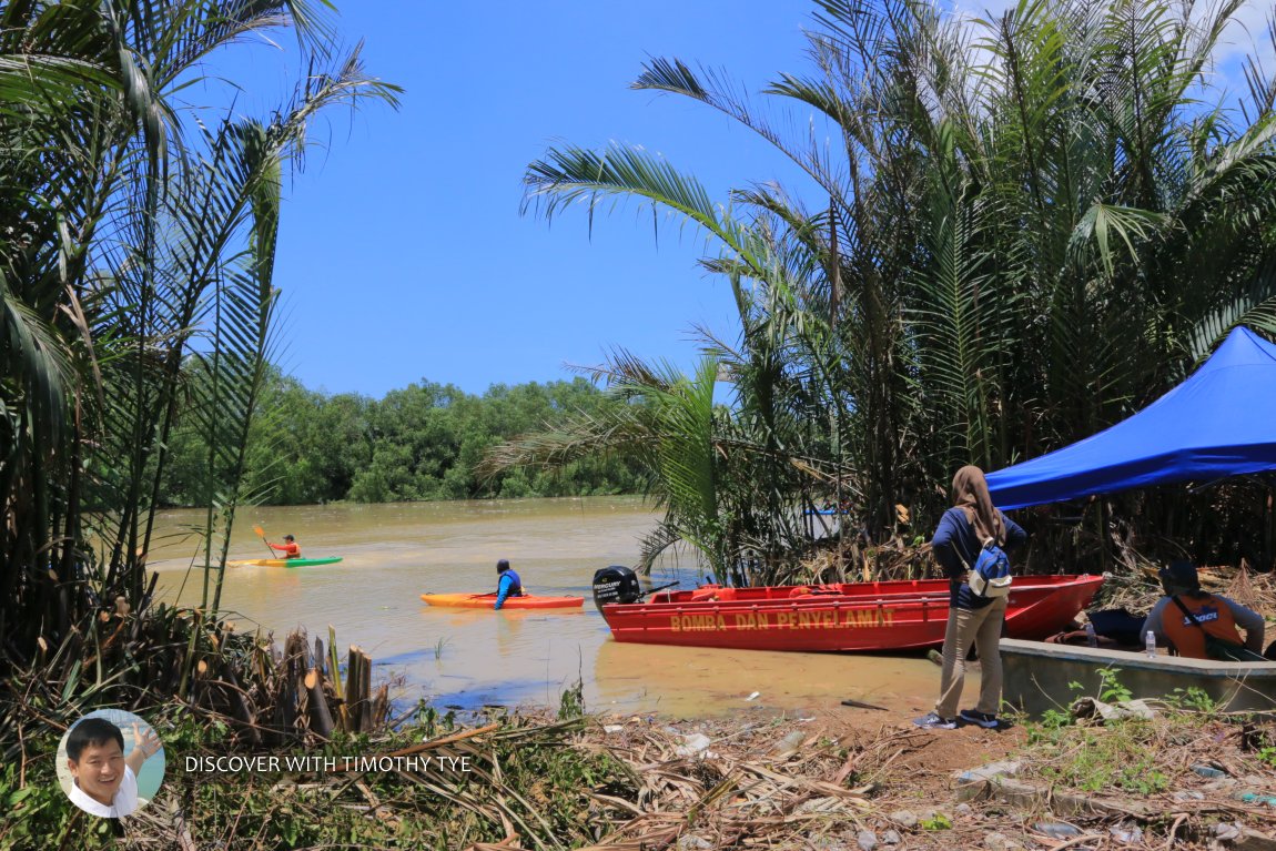
 Going kayaking on Sungai Prai. (29 September 2019)
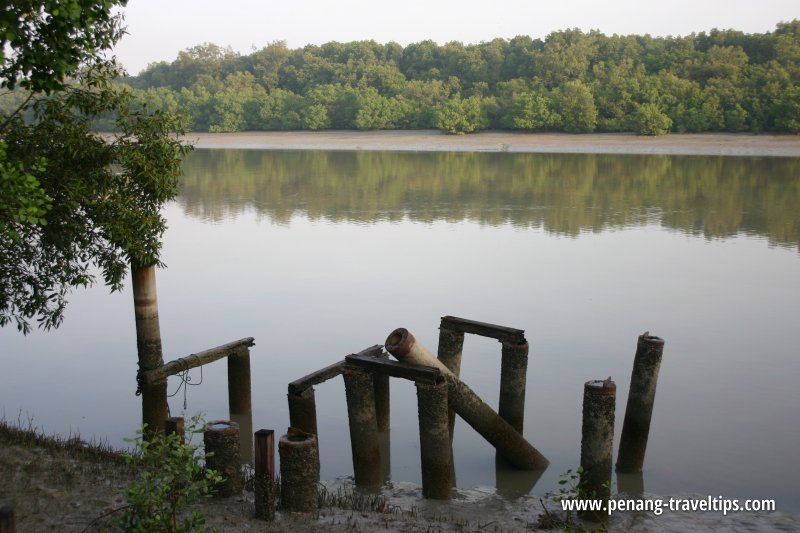
 Prai River (15 April 2006)
 Mangrove swamp line the banks of the Prai River (15 April 2006)
Sungai Perai on Google Street View
Prai River as seen from the Jalan Sungai Dua Bridge.
References
- The Straits Times (29 June, 1861): Topography of Province Wellesley
List of Rivers in Penang and Rivers in Malaysia

Copyright © 2003-2025 Timothy Tye. All Rights Reserved.

 Go Back