 Sungai Pinang, Balik Pulau (8 August 2013)
Sungai Pinang (GPS: 5.39944, 100.2137) is a Chinese village in Balik Pulau, Penang. Not to be confused with Kuala Sungai Pinang, a separate village, it is located at the junction of Jalan Sungai Rusa, Jalan Pantai Acheh and Jalan Teluk Bahang. The village has a Chinese primary school and a Malay primary school. There are pre-war shophouses lining the streets in the village.
The name Sungai Pinang also refers to the river that gives the place its name. It flows westward from the central hills of Penang Island to the Straits of Malacca. This is a different river from the Sungai Pinang that flows eastwards through Jelutong.
Map of Sungai Pinang, Balik Pulau
 Sights in Sungai Pinang
- Sekolah Jenis Kebangsaan (Cina) Sin Min (GPS: 5.39911, 100.21369)

- Sekolah Kebangsaan Sungai Pinang (GPS: 5.39816, 100.2127)

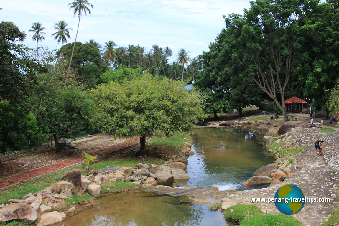 Recreational park along the banks of Sungai Pinang (8 August 2013)
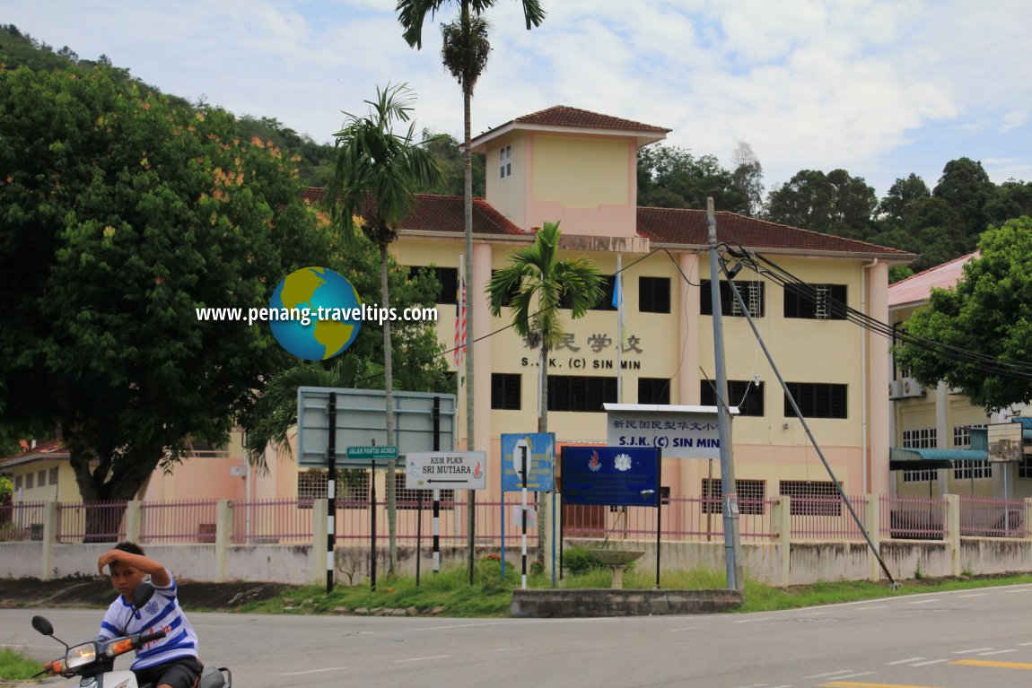 SJKC Sin Min, Sungai Pinang (8 August 2013)
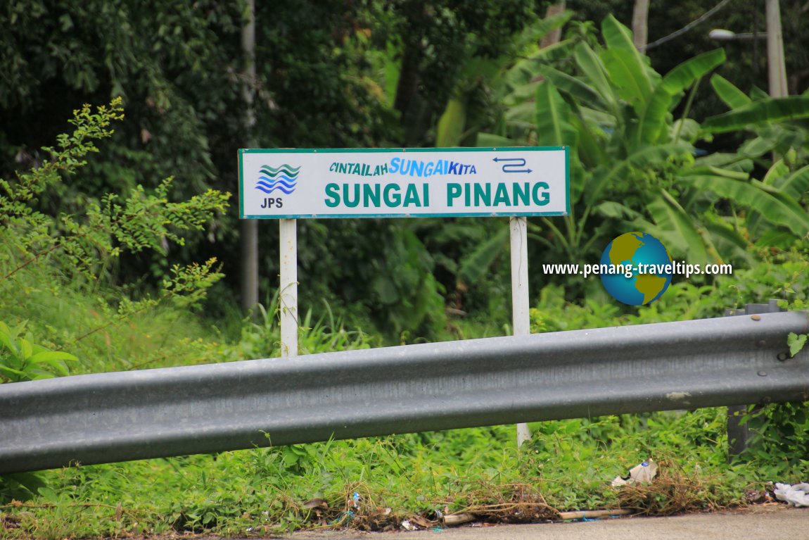 Sungai Pinang river signboard (8 August 2013)
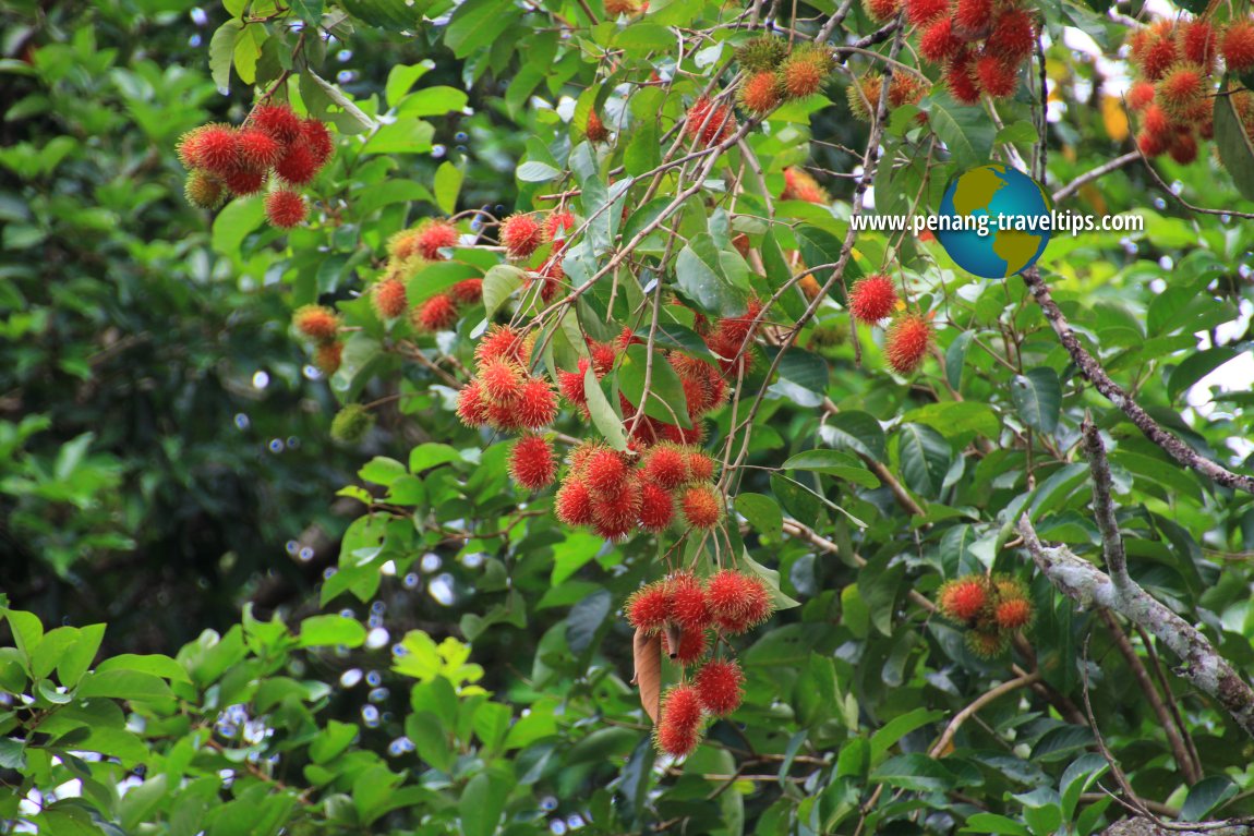 Rambutan tree in Sungai Pinang (8 August 2013)
Sungai Pinang on Google Maps Street View
Village of Sungai Pinang (Jul 2015)Sungai Pinang is  on the Map of Balik Pulau, Penang
List of Rivers in Penang and Rivers in Malaysia

Copyright © 2003-2025 Timothy Tye. All Rights Reserved.

 Go Back