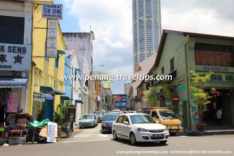
 Sungai Ujong Road, George Town, Penang (17 April 2011)
Jalan Sungai Ujong, formerly Sungai Ujong Road (Traditional/Simplified Chinese: 胡椒埕, Pinyin: Hújiāo chéng, Penang Hokkien: Hor3cio3 Tnia2
 ), is a road in the inner city of George Town, Penang. It is a one-way street with traffic flowing from Prangin Road to Kimberley Street. Across the Kimberley Street intersection is Cintra Street. Although Prangin Road serves as an intersection between Sungai Ujong Road and Jalan Ria, there is no through traffic between the two streets.
 Map of Jalan Sungai Ujong, Penang
Hotels on Sungai Ujong Road
- Apollo Inn (GPS: 5.41609, 100.33244)

- Kimberley Hotel (GPS: 5.41592, 100.3319)

Clan Associations on Sungai Ujong Road
- Ho Si Koong Hui Association of North Malaya (GPS: 5.416, 100.33229)

- Nanyang Cheang Chew Association (GPS: 5.4158, 100.33178)

- Penang Leow Association (GPS: 5.41616, 100.3325)

Street Art on Sungai Ujong Road
- "Shorn Hair" Sculpture by Mun Kian (GPS: 5.41563, 100.33158)

- "Three Generations" Sculpture aka "Char Koay Teow" Sculpture by Baba Chuah (GPS: 5.41626, 100.33256)

 Eateries on Sungai Ujong Road
- Auction Rooms Cafe (GPS: 5.4158, 100.33178)

- Yong Pin Restaurant (GPS: 5.41582, 100.33211)

 Businesses along Sungai Ujong Road
- Ooi Kwee Lim Polyclinic (GPS: 5.416, 100.33229)

- Sun Mobile Shop (GPS: 5.41548, 100.33168)

Junctions on Sungai Ujong Road
About Sungai Ujong Road
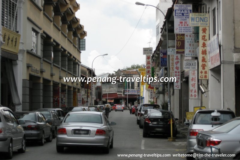
It has been around since the middle of the 19th century, with housing first in the form of attap, and eventually replaced by brick shophouses that we see today.The common theory to how Sungai Ujong Road got its name is that it was derived from Sungai Ujong, which is the old name for Seremban. However, a more obscure and likely reason for this name is that Sungai Ujong translates into the vernacular Malay (bahasa pasar) as "end of river".
 Sungai Ujong Road (12 November 2008)
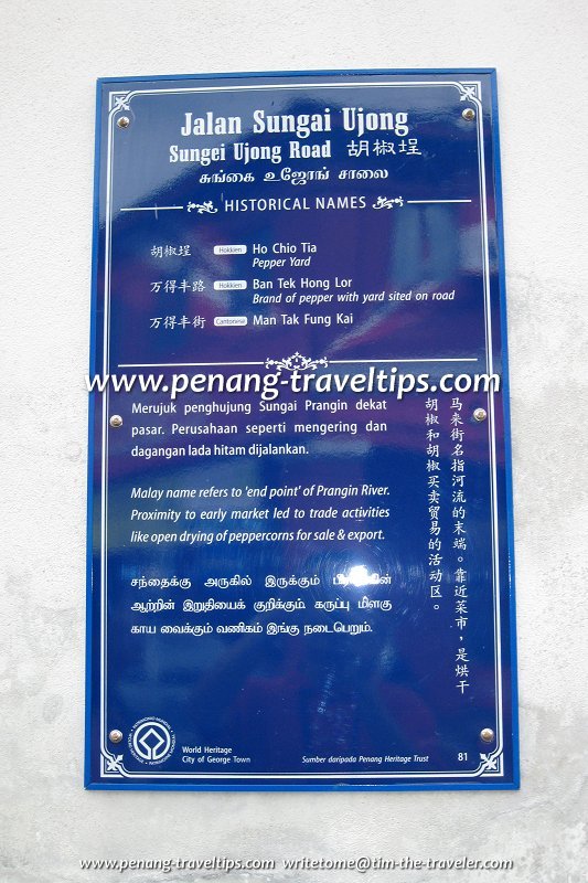
Sungai Ujong Road is at the tail end of the Prangin River, which once flowed out into the sea through the wetlands which were converted for cultivation in the early part of the 19th century. Until reclaimed and stabilized, the area from the sea all the way to Sungai Ujong Road was once wetlands or swampy ground. Eventually part of this land was turned into vegetable plots and paddy fields, hence the Hokkien name of Larm1 Charn3 Na4 meaning "The Little Soggy Paddy Field" for Carnarvon Street. The Prangin River was a slow-moving Prangin Canal, obscured for much of its course until the Sia Boey Market area. As peppercorns were once left to dry in the sun at Sungai Ujong Road, the Penang Hokkien name of for the street was Hor3cio3 Tnia2, meaning "peppercorn courtyard".
Today the section of Prangin Canal in front of Sungai Ujong Road has been obscured by the Komtar Walk and the parking lot in front of it.
Getting there
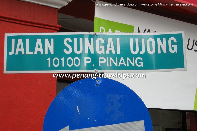
From the Komtar Bus Terminal, walk north along Jalan Ria until intersection with Prangin Road. Sungai Ujong Road is located directly across from Jalan Ria. Sungai Ujong Road sign (12 November 2008)
 Sungai Ujong Road plaque (12 November 2008)
List of Streets in Penang and Streets in Malaysia

Copyright © 2003-2025 Timothy Tye. All Rights Reserved.

 Go Back
