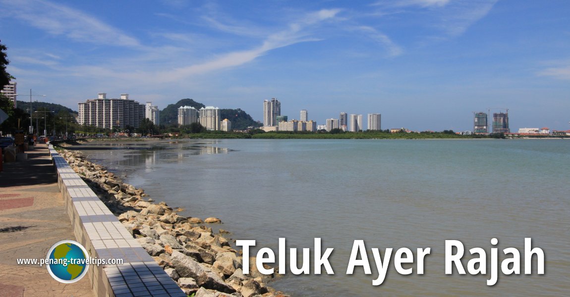
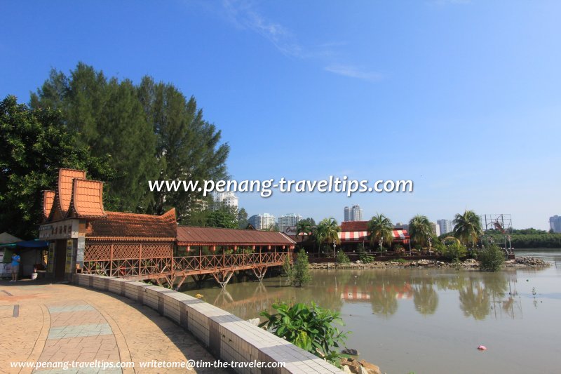
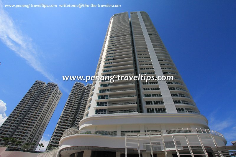
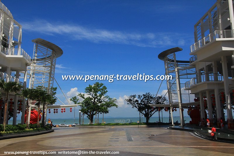
 Teluk Ayer Rajah, as seen from Gurney Drive to Tanjong Tokong, before the 2016 Gurney Wharf reclamation works (23 January 2012)
Teluk Ayer Rajah is a historic bay on the northern coast of George Town, Penang. It stretches between George Town and Tanjong Tokong, and gave its name to the historical Ayer Rajah Estate as well as the District of Teluk Ayer Rajah during the 19th century. Later on, the name remained on Ayer Rajah Road, until it was renamed Jalan Tunku Abdul Rahman.
Teluk Ayer Rajah has shrunk over the century. It was reduced in size when land reclamation created the present Jalan Tanjong Tokong, replacing Jalan Tanjong Tokong Lama, and was further reduced with the reclamation that created the Seri Tanjung Pinang neighbourhood, at the turn of the 21st century. Teluk Ayer Rajah may be completely expunged with the Gurney Wharf project.
In the old days, Teluk Ayer Rajah was a shallow bay comprising mudflats interrupted by the estuary of streams discharging into the sea. Sungai Bagan Jermal and Sungai Balik Batu, both canalised today, discharge into the bay.
Parts of Teluk Ayer Rajah can still be seen today off Gurney Drive, although successive land reclamation projects have extended the shoreline outwards, blurring its original shape. Gurney Drive sits on reclamation carried out in the late 1940s while Seri Tanjung Pinang is a more recent phase of reclamation carried out in the 21st century.
In the 19th century, various communities formed settlements along the coast of Teluk Ayer Rajah. There was a Eurasian village, known as Kampung Serani to the locals, where College Square and the Church of the Immaculate Conception is located today. A little to the east, there was a Burmese settlement known as Kampung Awak, from where stands the Dhammikarama Burmese Temple, adjacent to a Siamese village which gives us Wat Chaiyamangkalaram. Further inland, there was a Chinese village called Kebun Sireh, around the Hor Kai Kong Temple. The Ayer Rajah Estate occupies most of the land traversed by Brown Road and Scott Road, with Western Road forming its western border.
Kelawei Road was the old coastal road that stretched west beyond Northam Road. The Kedah Malays also had a settlement in the Teluk Ayer Rajah area, anchored by present-day Masjid Jamek Al-Munauwar. Behind the mosque is Kampung Syed, the remnant of the Malay settlement that is still around, since the property is on endowment land.
Teluk Ayer Rajah has seen enormous transformation in the past two decades. The result of rapid urbanisation can be seen in the row of skyscrapers lining the waterfront at Gurney Drive. The name Teluk Ayer Rajah itself is slipping from memory and new-fangled names such as Marina Bay and Tanjung Seri Pinang are created to denote various parts of it.
 Oriental Seafood, Teluk Ayer Rajah (23 January 2012)
 Skyscrapers of Gurney Drive line the coast of Teluk Ayer Rajah (23 January 2012)
 Teluk Ayer Rajah Coast, as seen from Gurney Paragon (23 January 2012)
Map of Teluk Ayer Rajah, Penang
Teluk Ayer Rajah on Google Maps Street View
Location of Teluk Ayer Rajah, Penang (Jan 2021)List of Beaches in Penang and Beaches in Malaysia

Copyright © 2003-2025 Timothy Tye. All Rights Reserved.

 Go Back