 Phu Chao Thong (The Golden Mount), Bangkok, Thailand (31 December, 2002)
Phu Khao Thong (GPS: 13.75387, 100.50658; Thai: ภูเขาทอง
 ) a manmade mount with a chedi on top of it, in Bangkok, Thailand. It is located within the grounds of Wat Saket, which is often incorrectly thought to be the Golden Mount itself. Also called Chedi Phu Khao Thong, it used to be the highest point in Bangkok, up to the 1960's. It was first constructed during the reign of King Rama III (1824-51). The king had built a chedi on the spot, but it collapsed due to the soft soil underneath. To strengthen the foundation, King Rama III created the artificial mount of mud and bricks.
When the reign passed to King Mongkut (Rama IV, 1804-68), the new monarch further stabilized the manmade mount with 1000 teak logs, because it was once again sinking into the soft ground. The building of a new chedi on top of the mount was the work of the subsequent King Chulalongkorn (Rama V, 1853-1910). The chedi enshrines a relic of the Buddha given to King Rama V by the British. The relic is believed to have originated in India or Nepal.
During the Second World War, the Golden Mount was further strengthen from erosion by a concrete wall. Today the Golden Mount stands 78 meters above ground. Up till the 1960's, it was the highest point in all of Bangkok. The chedi at the top is reached by a stairway that goes around the mount. There are all together 320 steps and I managed to climb it all the way to the top.
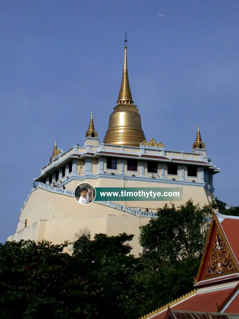
 The chedi of Phu Chao Thong (The Golden Mount) (31 December, 2002)
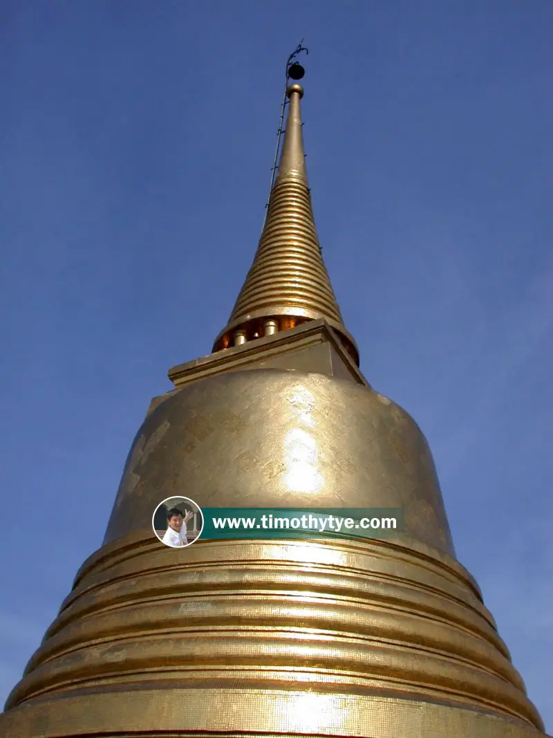
 Chedi Phu Khao Tong at Wat Saket Ratchaworamahawihan (31 December, 2002)
Getting there
The Golden Mount is located in Pom Prap Sattru Phai district, within the compounds of Wat Saket. There are no Skytrains or MRT to this area, so the best way to reach the Golden Mount is by taking the taxi. Tell the taxi to take you to Wat Saket. You should use your trip to visit other nearby sights.Phu Khao Thong on Google Street View
The staircase up the Golden Mount (May 2013)Phu Khao Thong is  on the Map of Bangkok
List of Buddhist Temples in Bangkok and Buddhist Temples in Thailand; list of Districts of Bangkok
 Latest updates on Penang Travel Tips
 Map of Roads in Penang
Looking for information on Penang? Use this Map of Roads in Penang to zoom in on information about Penang, brought to you road by road.
Copyright © 2003-2025 Timothy Tye. All Rights Reserved.

 (Golden Mount), Bangkok
 Go Back