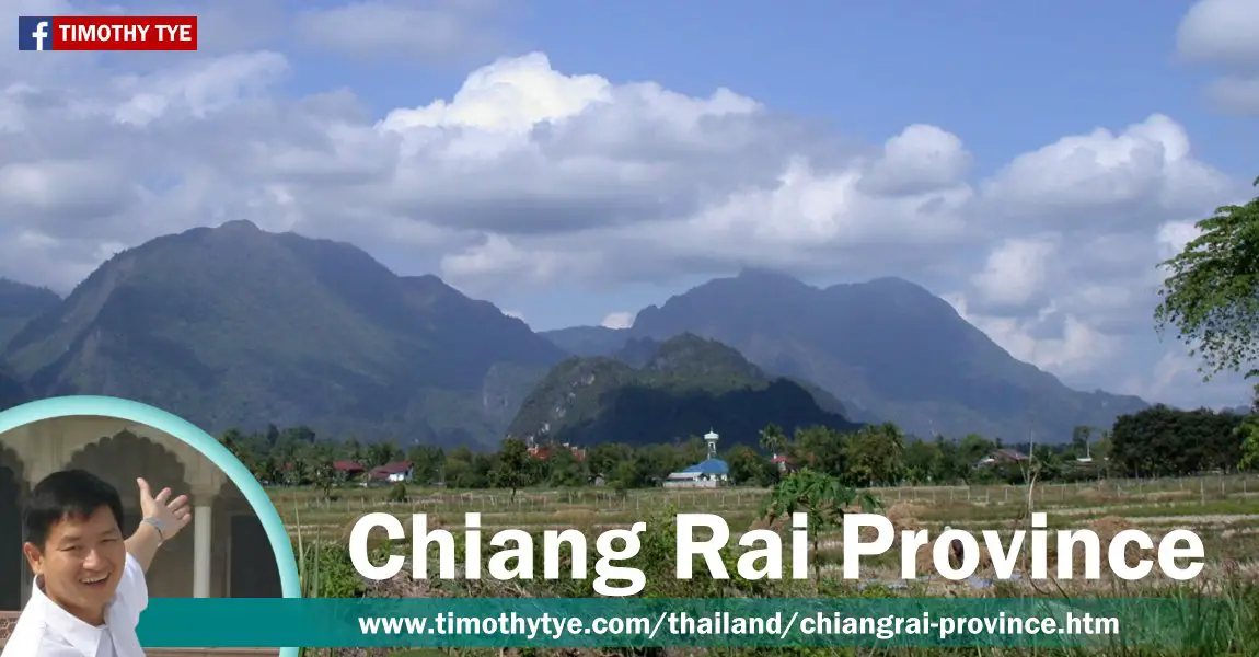
 Chiang Rai Province, Thailand (25 December, 2002)
Chiang Rai Province เมืองเชียงราย
 , in the Northern Region of Thailand, is the northernmost province of the country. It is bordered by Myanmar to the northwest, Laos to the northeast, the Thai province of Phayao to the southeast, Lampang Province to the south and Chiang Mai Province to the west.
Chiang Rai Province covers 11,678 sq km (4,509 sq mi) and has a population of 1.2 million people. It ranks 12th in size and 14th in population. The provincial capital is the town of Chiang Rai.
The area that is now Chiang Rai Province has documented evidence of human settlement going back to the 7th century. By the 13th century it became the centre of the Lanna Kingdom until 1786, when it was captured by the Burmese. It became a Thai province in 1910 when the Lanna Kingdom was incorporated into Siam, the precursor of present-day Thailand.
Chiang Rai Province is divided into eighteen districts or amphoe, which are subdivided into 124 subdistricts or tambon, with 1510 villages (muban). The districts are Mueang Chiang Rai (Chiang Rai Town), Wiang Chai, Chiang Khong, Thoeng, Phan, Pa Daet, Mae Chan, Chiang Saen, Mae Sai, Mae Suai, Wiang Pa Pao, Phaya Mengrai, Wiang Kaen, Khun Tan, Mae Fa Luang, Mae Lao, Wiang Chiang Rung and Doi Luang.
Map of Chiang Rai Province
Places of Interest in Chiang Rai Province
- Chiang Rai (GPS: 19.90716, 99.83095)

Provincial Capital of Chiang Rai Province. - Mae Sai (GPS: 20.4403, 99.88217)

Border town between Thailand and Myanmar.
Places of Interest in Chiang Rai Province
- Doi Tung (GPS: 20.32611, 99.83444)

Revered mountain and site of the Doi Tung Palace and Mae Fa Luang Flower Garden. Wat Phra That Doi Dung is a temple on Doi Tung, at an elevation of about 2,000 meters. - Golden Triangle (GPS: 20.3529, 100.08295)

The area where the Mekong River meets the Ruak River, where the borders of Laos and Myanmar also meet that of Thailand. Formerly known as a region for the growing of opium, it is today reinventing itself as a tourist destination. - Mae Fah Luang Art and Cultural Park (GPS: 19.90527, 99.79407)

Art and cultural center founded by the late Princess Mother located in Pa Ngiw Village. It has a museum showcasing Lanna cultural artifacts. - Mae Salong (GPS: 20.15863, 99.62235)

Village with a substantial population of ethnic Chinese who crossed into Thailand from Yunnan Province at the end of the Chinese Civil War in 1949. - Wat Phra Kaew (GPS: 19.91175, 99.8277)

This is the Temple of the Emerald Buddha of Chiang Rai. The Emerald Buddha was discovered here in 1444. - Wat Rong Khun (GPS: 19.82431, 99.76303)

This is the Temple of the Emerald Buddha of Chiang Rai. The Emerald Buddha was discovered here in 1444.
Rivers in Chiang Rai Province
- Mae Kok
A 130-km river that flows through the town of Chiang Rai.
 Latest updates on Penang Travel Tips
 Map of Roads in Penang
Looking for information on Penang? Use this Map of Roads in Penang to zoom in on information about Penang, brought to you road by road.
Copyright © 2003-2025 Timothy Tye. All Rights Reserved.

 , Thailand
 Go Back