 Mae Sai, Thailand (25 December, 2002)
Mae Sai (GPS: 20.4403, 99.88217; Thai: แม่สาย
 ) is the border town between northern Thailand and Myanmar. It is the northernmost town in Thailand. From here, one can cross to Tachilek in Myanmar. There is really not much to see in either Mae Sai or Tachilek - which you can cross for a day trip - other than the novelty of being at the northernmost town in Thailand, and the claim for having visited Myanmar.
I was at Mae Sai when I explored the northern part of Thailand with some friends who are now AsiaExplorers members. We were actually passing through it on our way to the Golden Triangle, and stopped at Mae Sai for lunch.
Mae Sai is named after the river of the same name that separates Thailand from Myanmar. A small bridge crosses the Mae Sai river into Myanmar. If you are thinking of Tachilek, be sure to note that the border closes in the evening, do be back early or else you will be stranded on the wrong side of the river.
Map of Mae Sai
Sights in Mae Sai
- Mae Sai Chinese Temple (GPS: 20.44185, 99.88124)

- Mosque & Islamic Museum (GPS: 20.43296, 99.89337)

- Thailand Border Control and Immigration Office (GPS: 20.4437, 99.88073)

- Wat Phra That Doi Wao (GPS: 20.43812, 99.90741)

- Wat Santhan (GPS: 20.43812, 99.90741)

- Wat Tham Pha Chom (GPS: 20.43812, 99.90741)

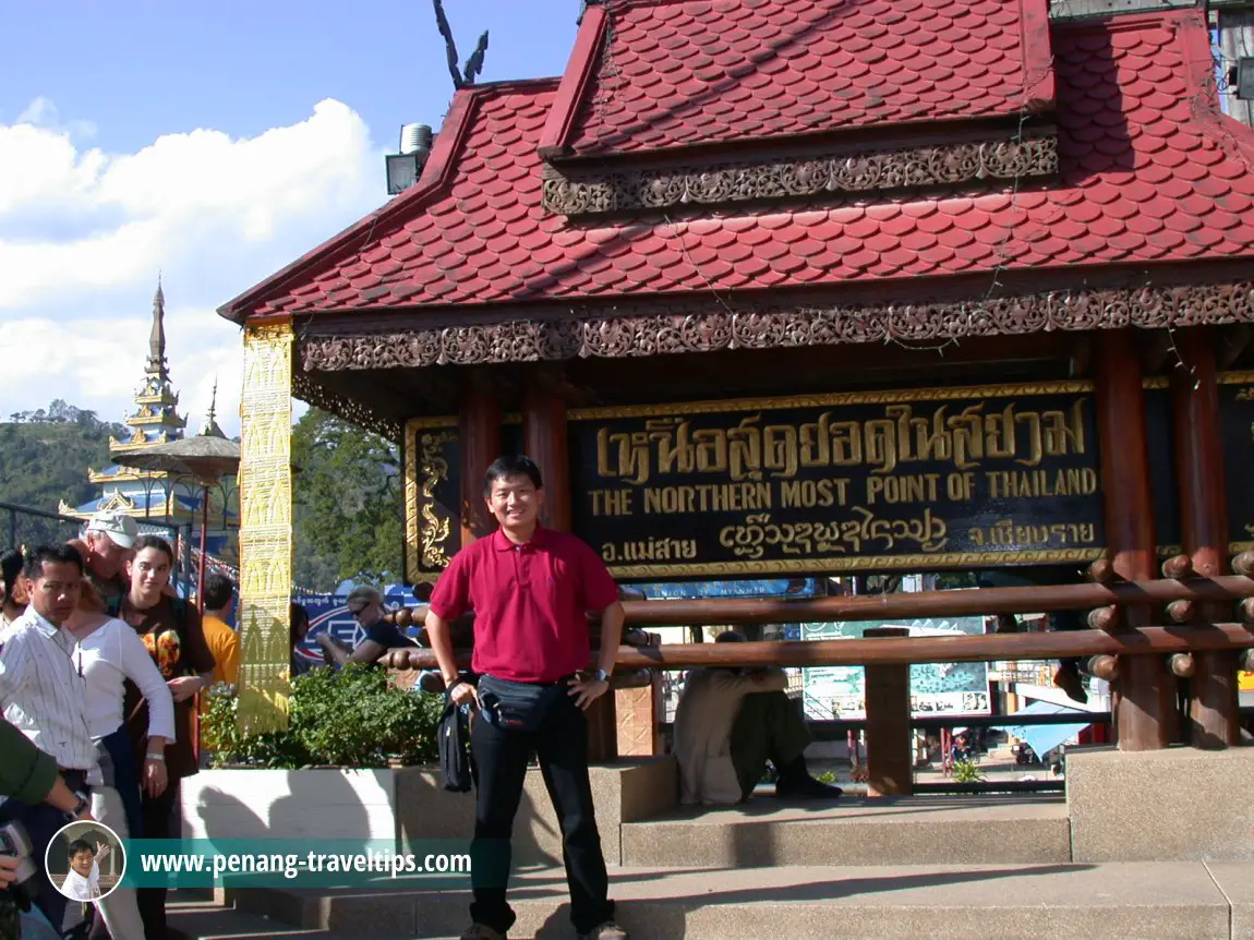
 Here I am at the northermost point of Thailand in Mae Sai. (25 December, 2002)
Sights in Mae Sai on Google Street View
Mae Sai Chinese Temple (Jan 2018)Mae Sai Mosque & Islamic Museum (Jan 2018)
Thailand Border Control and Immigration Office (Dec 2014)
Wat Phra That Doi Wao (Apr 2012)
Wat Santhan (Apr 2012)
Wat Tham Pha Chom (Feb 2017)
 Latest updates on Penang Travel Tips
 Map of Roads in Penang
Looking for information on Penang? Use this Map of Roads in Penang to zoom in on information about Penang, brought to you road by road.
Copyright © 2003-2025 Timothy Tye. All Rights Reserved.

 Go Back