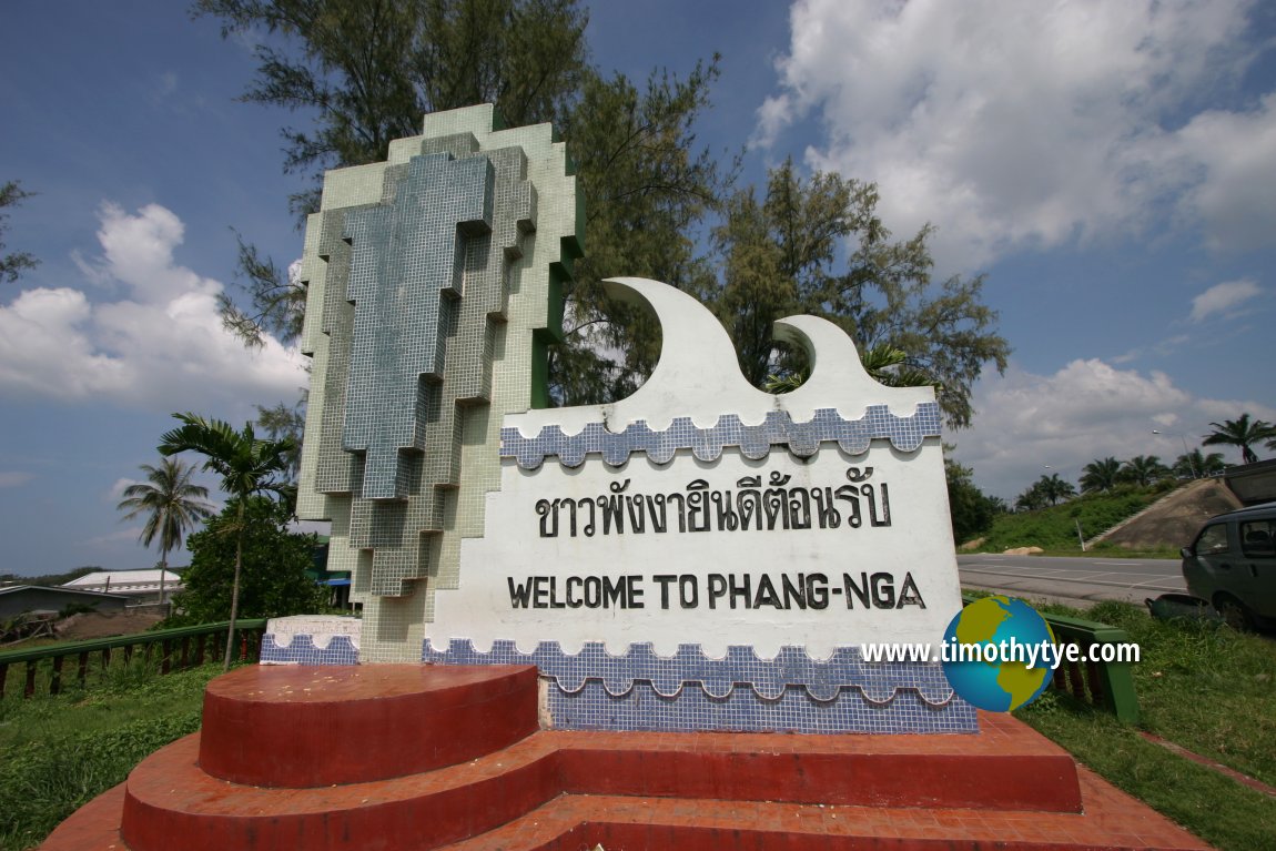
 Phangnga Province, Thailand (12 May, 2006)
Phangnga Province จังหวัดพังงา
 is located in southern Thailand. Part of it faces the Andaman Sea to the west. It also shares a border with Ranong Province to the north, Surat Thani Province to the east and Krabi Province to the southeast. Phangnga Province is linked to the island of Phuket, which is in Phuket Province, by bridge.
Phangnga Province covers 4,170 sq km (1,610 sq mi) and has a population of 255,000 people (2012 estimate). It ranks 53rd in terms of size, 71st in population and 69th in population density among the 76 provinces of Thailand. The provincial capital and main town is Phang Nga.
Phangnga Province was based on the town of Phang Nga, which was formerly called Kraphunga. It was renamed Phang Nga during the reign of King Rama III, and the area surrounding it was made a province in 1933. The province comprises 8 districts or amphoe which are subdivided to 48 subdistricts (tambon) and 314 villages (muban). The districts of Phangnga Province are Mueang Phang Nga (Phang Nga Town), Ko Yao, Kapong, Takua Thung, Takua Pa, Khura Buri, Thap Put and Thai Mueang.
Map of Phangnga Province
Places of Interest in Phangnga Province
- Khao Chang (GPS: 8.44388, 98.51305)

- Mu Ko Similan Marine National Park (GPS: 8.59291, 97.6374)

- Mu Ko Surin Marine National Park (GPS: 9.43438, 97.86811)

- Phangnga Bay / Phangnga Bay National Park (GPS: 8.24455, 98.5635)

- Wat Suwannakhuha
- Wat Rat Uppatham aka Wang Bang Riang (GPS: 8.59671, 98.6773)

 Phangnga Welcome Sign (19 November, 2005)
 Latest updates on Penang Travel Tips
 Map of Roads in Penang
Looking for information on Penang? Use this Map of Roads in Penang to zoom in on information about Penang, brought to you road by road.
Copyright © 2003-2025 Timothy Tye. All Rights Reserved.


 Go Back