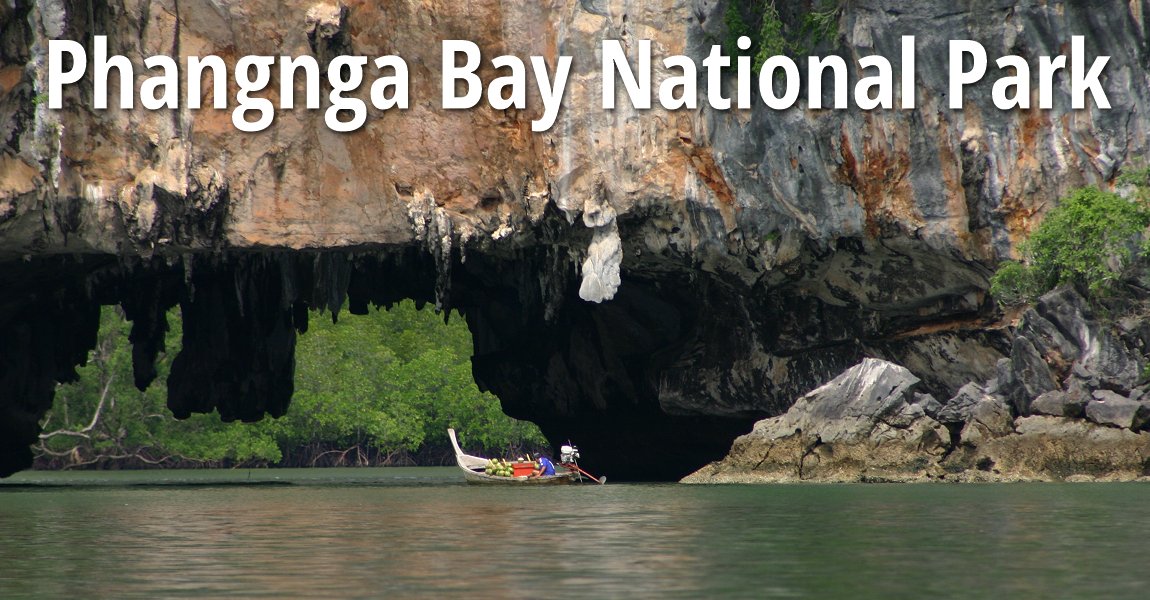
 Phangnga Bay National Park (13 July, 2004)
Phangnga Bay National Park อุทยานแห่งชาติอ่าวพังงา
 (GPS: 8.24455, 98.5635), in Phangnga province, is an island-studded bay located between Phuket and Krabi. It is a place of majestic karst islets scattered across a bay area northeast of Phuket. Due to its significance, Phangnga Bay was designated a forest park in 1974, under the name Si Phangnga Forest Reserve. On 29 April 1981, it was elevated to national park status, and is now known as Ao Phang Nga National Park, or Phangnga Bay National Park. Phangnga Bay is famous for its weird limestone landscape, and also for being the place to see James Bond Island.
Phang Nga Bay National Park covers an area of 400 square kilometers and encompasses the largest tract of mangrove forest in Thailand. It stretches from Muang Phangnga District to Takua Tung District. Within this area are about 42 islands, the most famous being Koh Khao Phing Kan (better known as James Bond Island), Ko Tapu and Koh Pangyi.
I visited Phangnga Bay with members of AsiaExplorers during our tour of southern Thailand. We entered Phangnga Bay at a landing pier at a river estuary where we can see limestone outcrops jutting out of an otherwise mangrove swamp landscape. Our boat took us through the estuary, which widens into the open bay. Here we see a multitude of limestone outcrops and islets. I learn that there are over 40 such islets, and they are scattered in all directions and as far as the horizon. Some of these rise to over 300 meters.
Our boat takes up through the limestone tunnels under the towering karst mountains to emerge in a "hong", meaning room. This is a natural cavity created when the limestone mountain collapsed to create an opening surrounded by sheer limestone cliffs. The environment was so tranquil and magical.
Phangnga Bay National Park contains a large expanse of mangrove forest, among the largest in Thailand. The mangrove plays in important role in keeping erosion in check. It also provides a habitat for the parks fauna, including the white-handed gibbon, the Serow, the smooth-coated otter, the dusky langur and the crab eating macaque, not to mention the many birds, reptiles, amphibians and marine life. As we explored the limestone islands, our boatman pointed out Khao Kien, or Written Mountain. It is so named because it has prehistoric rock paintings on its walls. Our boatman took us close to the cliff so that we could view upclose the rocks and see the seaweeds growing on them.
Later we stopped over on a shore and got down to explore the rock formations as well as vegetation. It was a weird experience to be here, without any other tourists nearby.
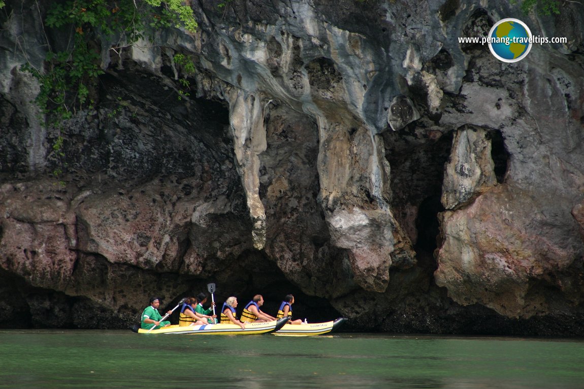 Limestone cliffs at Phangnga Bay National Park (13 July, 2004)
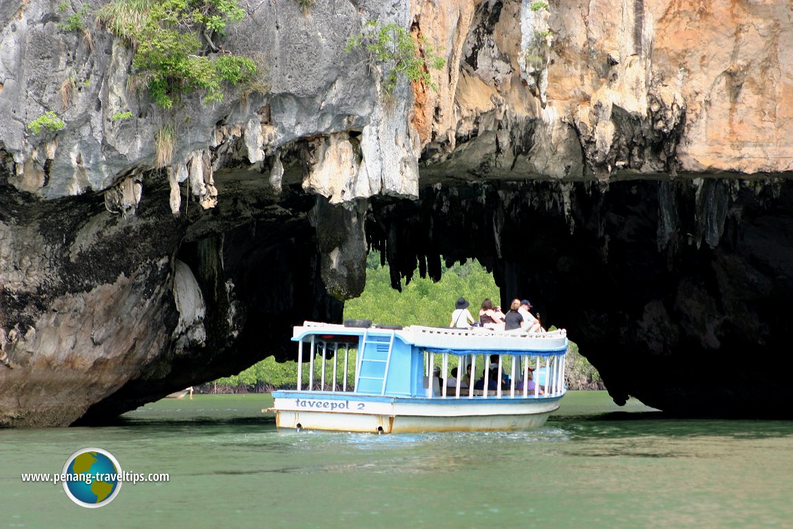 Tourist boat at Phangnga Bay National Park (13 July, 2004)
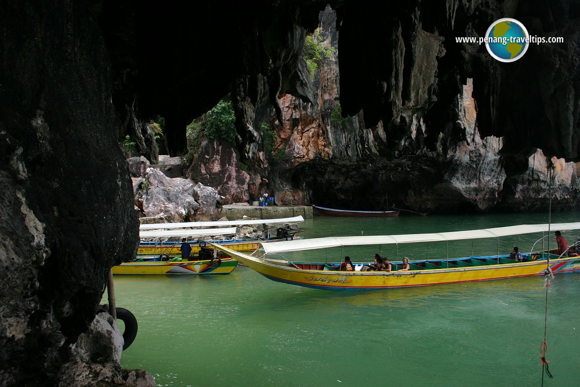 Tourist boat arriving at James Bond Island in Phangnga Bay National Park (13 July, 2004)
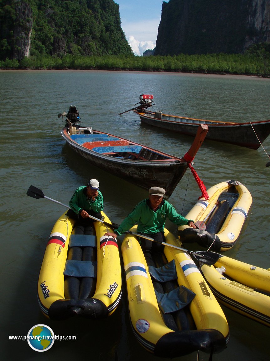 Kayaks for tourists to sightsee Phangnga Bay National Park (13 July, 2004)
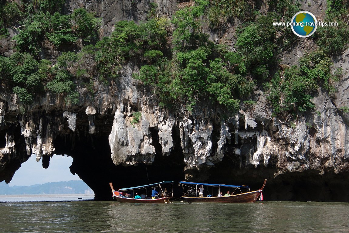 Tourist boats on sightseeing cruise at Phangnga Bay National Park (13 July, 2004)
Phangnga Bay National Park is  on the map of Phangnga Province
List of the National Parks in Thailand
 Latest updates on Penang Travel Tips
 Map of Roads in Penang
Looking for information on Penang? Use this Map of Roads in Penang to zoom in on information about Penang, brought to you road by road.
Copyright © 2003-2025 Timothy Tye. All Rights Reserved.


 Go Back