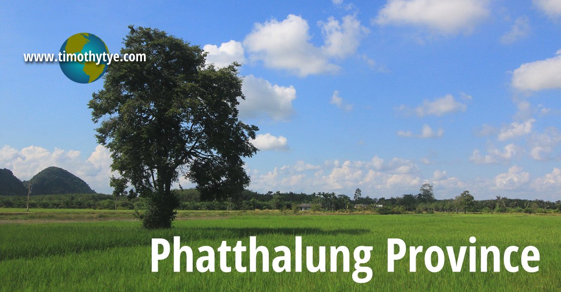
 Phatthalung Province (11 January, 2013)
Phatthalung Province จังหวัดพัทลุง 3 is a province in the Southern Region of Thailand. It is bordered by Nakhon Si Thammarat Province to the north, Trang Province to the west, Satun Province to the southwest, and Songkhla Province to the east and south.
Phatthalung Province covers 3,424 sq km (1,322 sq mi) and has a population of 511,000 people. It ranks 58th in terms of size, 47th in terms of population and 27th in terms of population density among the 76 provinces of Thailand.
Phatthalung Province faces the eastern shore of Songkhla Lake, a large shallow lake in Songkhla Province. As with many of the provinces in southern Thailand, Phatthalung Province has a high population of Thai Malays, accounting for 11% of the population.
Phatthalung Province comprises 11 districts or amphoe, namely Mueang Phatthalung (Phatthalung Town), Kong Ra, Khao Chaison, Tamot, Khuan Khanun, Pak Phayun, Si Banphot, Pa Bon, Bang Kaeo, Pa Phayom and Srinagarindra. The districts are subdivided to 65 subdistricts (tambon) and 626 villages (muban).
Map of Phatthalung Province
Bodies of water in Phatthalung Province
Sights in Phatthalung Province
- Ban Thale Noi (GPS: 7.78141, 100.12158)

- Bang Kaeo Shadow Puppet and Handicraft Centre
- Buddha Image of the South
- Khai Tao Beach (GPS: 7.44068, 100.23415)

- Khao Chaison Hot Spring (GPS: 7.45064, 100.13088)

- Khlong Hu Rae
- Little House on Thale Luang (GPS: 7.76101, 100.18048)

- Ok Thalu Mountain
- Wat Khuha Sawan
- Wat Wihan Sung (GPS: 7.71422, 100.08799)

Places to eat in Phatthalung Province
- Larn Ta Chu Steak House (GPS: 7.71058, 99.99097)

Roadways in Phatthalung Province
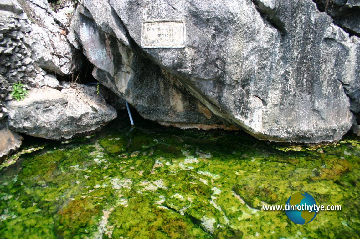
And these are places of interest in Phattalung Province which I hope to describe one day: Hot water pond at Khao Chaison Hot Spring, Phatthalung. (12 June, 2005)
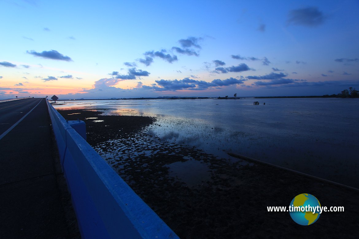
 View of Thale Noi at dusk from Thanon Chaloem Phra Kiat 80 Phansa. (11 January, 2013)
 Latest updates on Penang Travel Tips
 Map of Roads in Penang
Looking for information on Penang? Use this Map of Roads in Penang to zoom in on information about Penang, brought to you road by road.
Copyright © 2003-2025 Timothy Tye. All Rights Reserved.


 Go Back