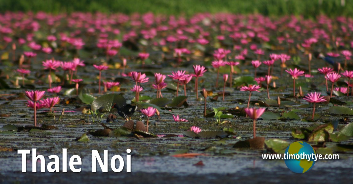
 Thale Noi, Phattalung Province, Thailand (12 June, 2005)
Thale Noi ทะเลน้อย
 in Phatthalung Province is one of the biggest lakes in Thailand. The name Thale Noi means "small sea". This huge lake covers an area of 28 square kilometers, and forms the northernmost portion of the Great Songkhla Lake, and separated from another larger body of water called Thale Luang to its south by an area of marshland. A modern elevated highway called Thanon Chaleom Phra Kiat 8 Phansa provides a physical marker of the separation between these two lakes. What makes Thale Noi special is that the entire lake is covered with water plants, including waterlilies and lotus of various species.
To explore Thale Noi, you need to hire a motorized sampans, which can be obtained at the village by the banks. The journey around Thale Noi will take you about two hours. Within Thale Noi you will come across different kinds of vegetation including purple waterlilies next to the white ones. There are floating gardens of lotuses. You can see lake weeds growing abundantly in the clear water of Thale Noi.
Thale Noi is a wetland, with many outcrops of marsh islands where birds come to roost. Among the birds you can find here include the beautiful purple swamphen (Porphyrio porphyrio), also known in Malay as burung pangling, the Chinese pond heron (Ardeola bacchus, Malay: burung pucong Cina), purple heron (Ardea purpurea, Malay: burung pucong serandau), white-winged terns (Chlidonias leucopterus, Malay: burung camar bahu putih), the Brahminy kites (Haliastur indus, Malay: lang merah), the little cormorant (Phalacrocorax niger), the cotton pygmy goose (Nettapus coromandelianus, Malay: itik kapas), the Oriental pratincole (Glareola maldivarum), common moorhen (Gallinula chloropus, Malay: tiong air), egrets, kingfishers, wild ducks, and other birds.
The wetlands of Thale Noi was gazetted as a Ramsar wetland area in 1998, and is known as Phru Khuan Khi Sian. This is part of the Thale Noi Non-Hunting Area, which was created in 1975. This protected area is located immediately north of Thale Luang, the middle section of Songkhla Lake. It is one of the few surviving wetland ecosystems in Thailand where one can come across a combination of lakes, marshes, swamp forest and swamp grasslands. Within the Phru Khuan Khi Sian are the "khuans", a Thai word for island knolls within the Melaleuca swamp forest of Thale Noi.
Map of Thale Noi
Interesting Sights in Thale Noi
- Ban Thale Noi (GPS: 7.78141, 100.12158)

- Little House on Thale Luang (GPS: 7.76101, 100.18048)

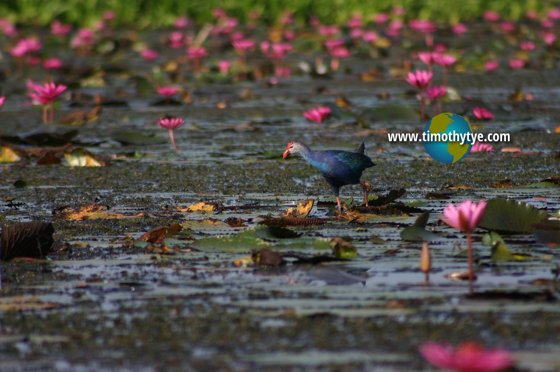 Purple swamphen (Porphyrio porphyrio) stepping through a world of water lilies at Thale Noi, Phatthalung Province, Thailand. (12 June, 2005)
© Timothy Tye

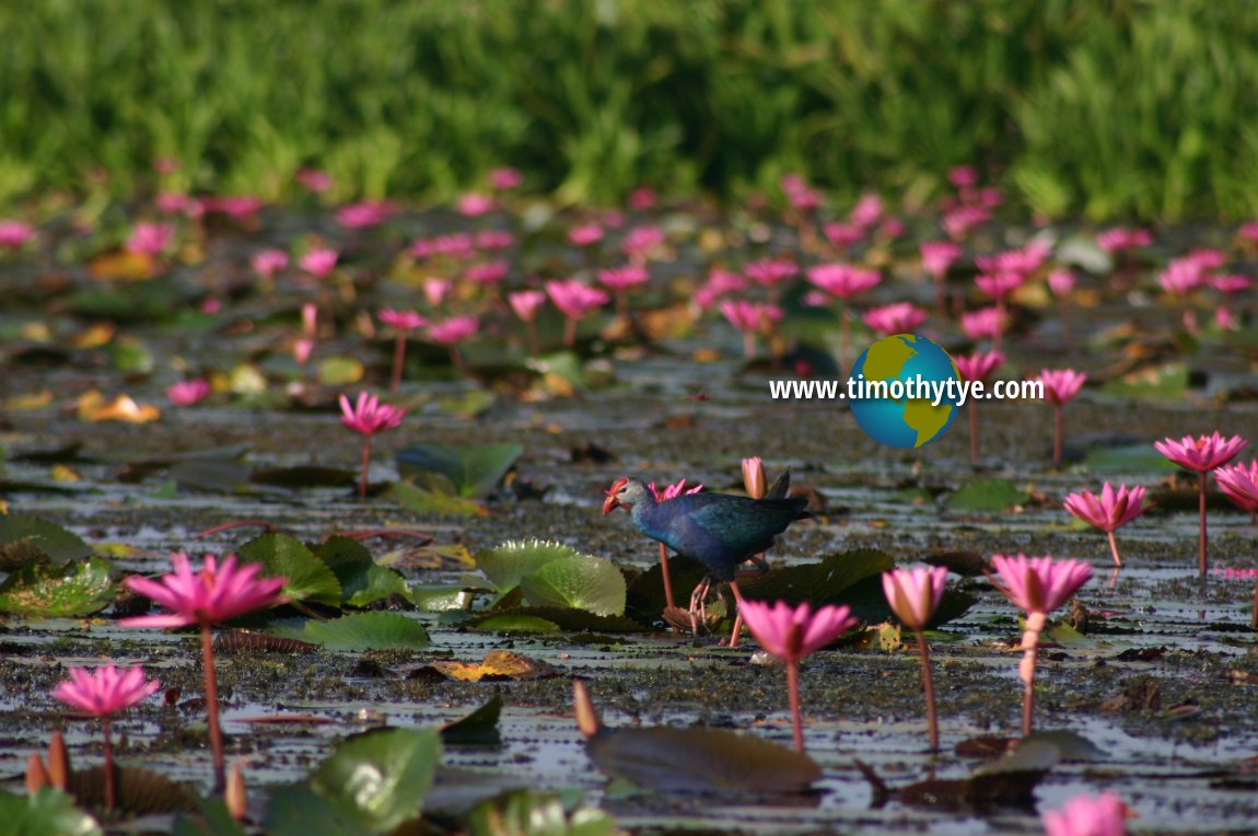 The Purple Swamphen surrounded by water lilies. (12 June, 2005)
© Timothy Tye

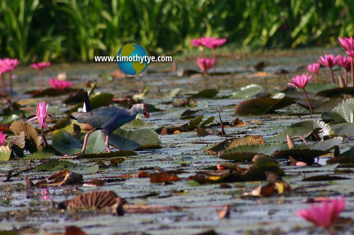 The Purple Swamphen stepping through the wetlands of Thale Noi. (12 June, 2005)
© Timothy Tye

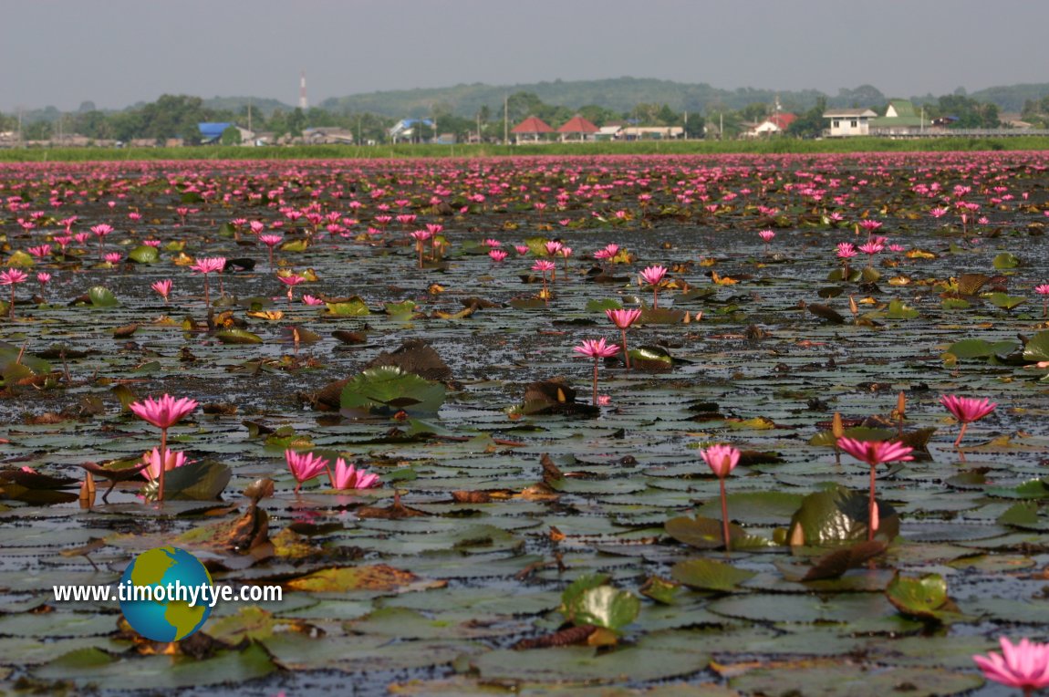 A whole section of Thale Noi covered in water lilies. (12 June, 2005)
© Timothy Tye

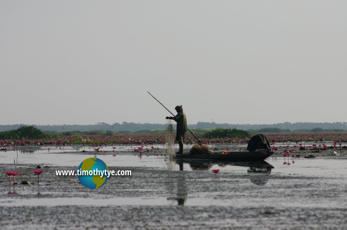 Fisherman at Thale Noi, one of the biggest expanse of wetlands in Thailand. (12 June, 2005)
© Timothy Tye

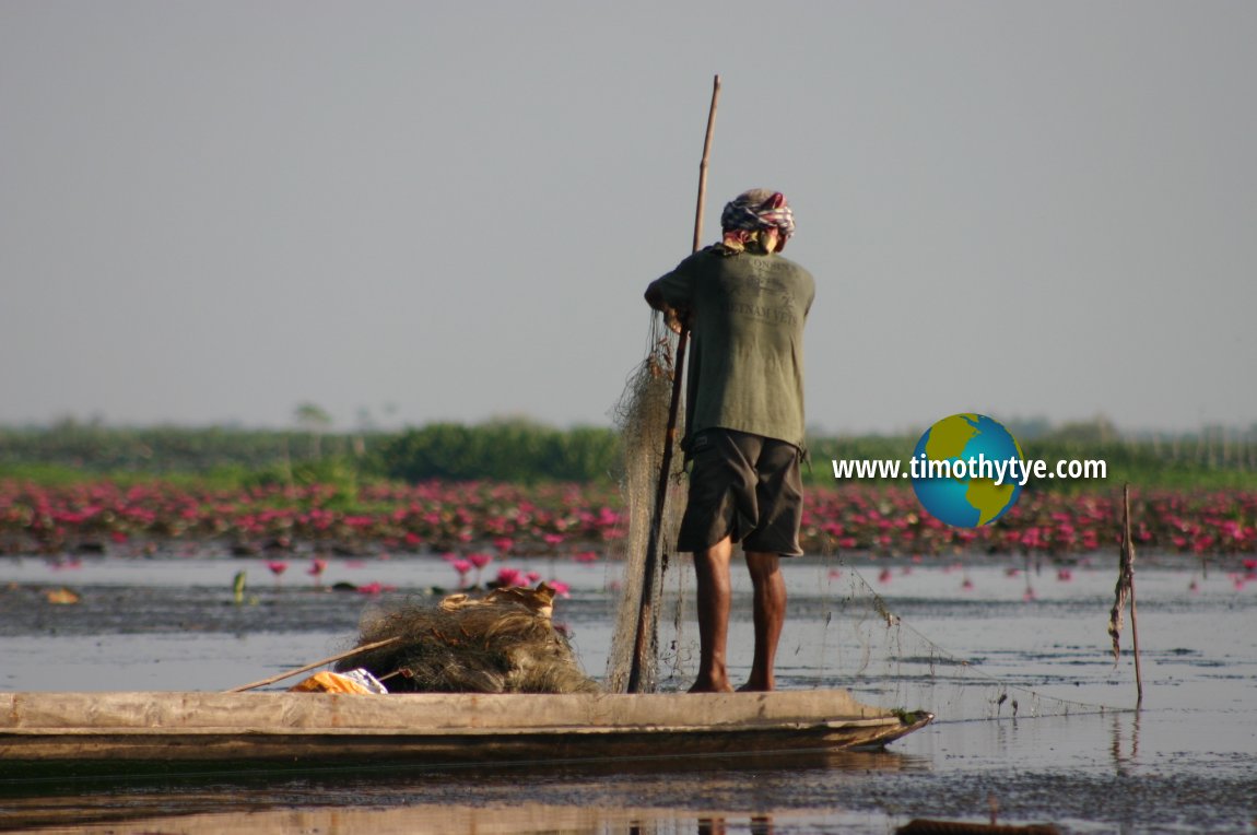 Fisherman bringing up his net at Thale Noi. (12 June, 2005)
© Timothy Tye

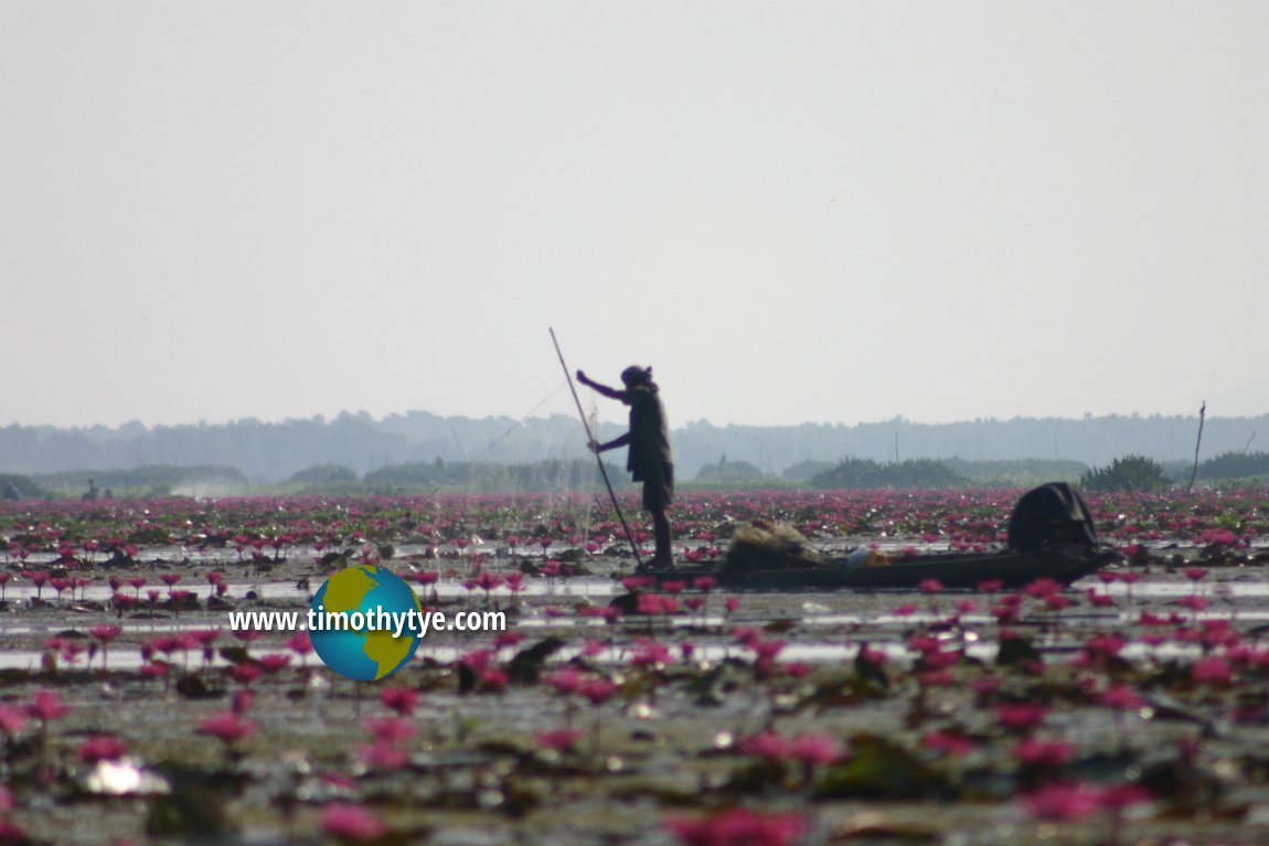 Negotiating a world full of waterlilies. (12 June, 2005)
© Timothy Tye

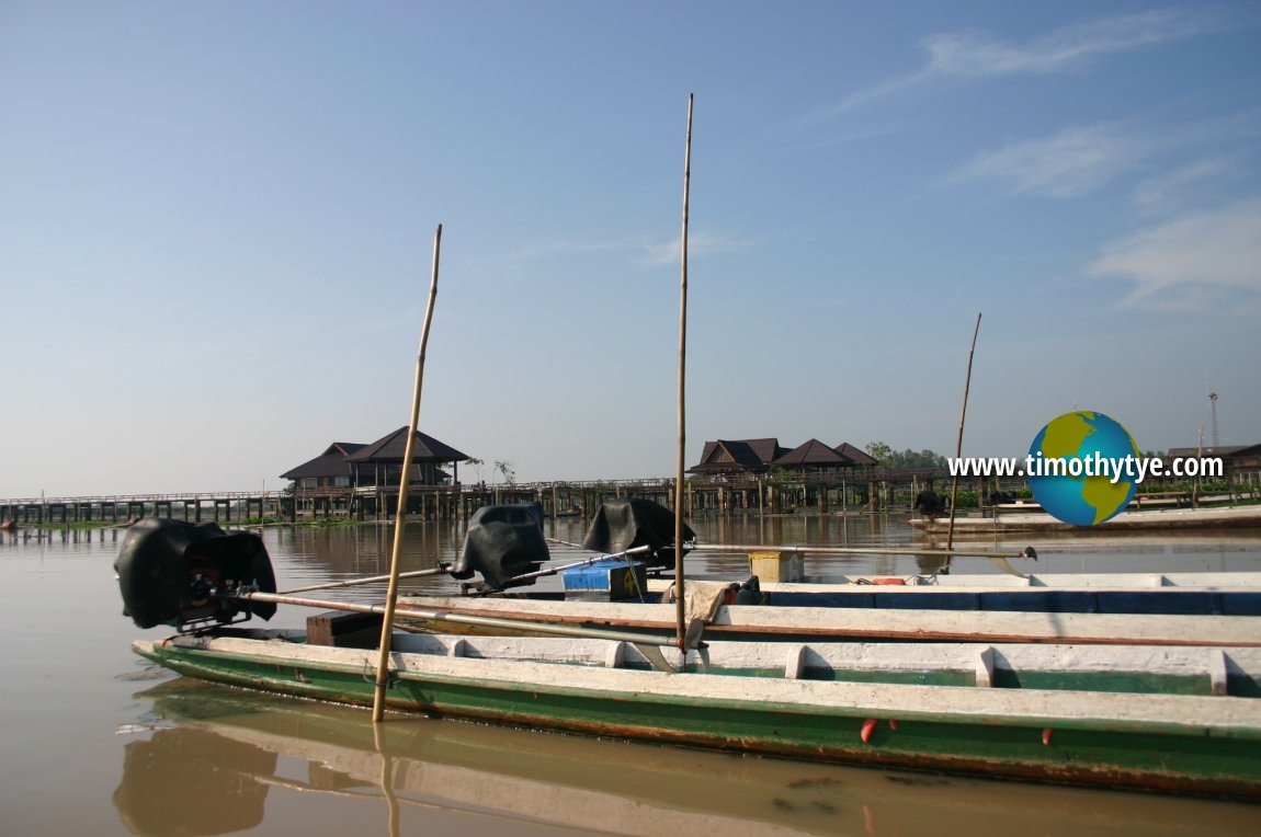 This is where we hire our long-tail sampans for the cruise around the lake. In the background is the Thale Noi Lakeside Cultural Village. (12 June, 2005)
© Timothy Tye

Thale Noi is an important habitat for various wildlife, particularly waterfowl. Bird enthusiasts are encouraged to bring along their binoculars or telephoto lens. A hat and sun glasses are also recommended, since the sun tend to be fierce, especially in the late morning. There are around 150 different species of birds that stop at Thale Noi on their annual migrations between Siberia or China to the north and Sumatra or Australia to the south.
The best time to watch for birds in Thale Noi is when it is winter in the northern hemisphere, that's around January to April. That's when as many as 100,000 birds converge on Thale Noi. The low season is June to September, which is the nesting period.
The bird species you would expect to see in Thale Noi include the following. Within the heron and stork families are the yellow bittern, great egret, painted stork and red stork. Duck species found in Thale Noi include the whistling duck, cotton pygmy goose and garganey. And then there are the cormorants, such as the great cormorant and little cormorant, Other speicies of birds found here are the grebe, white-browed crake, waterhen, common moor hen, Eurasian coot, pheasant-tailed jacana and bronze-winged jacana, black-winged stilt, Brahminy kite, red-wattled lapwing, whiskered tern, common kingfisher and barn swallow.
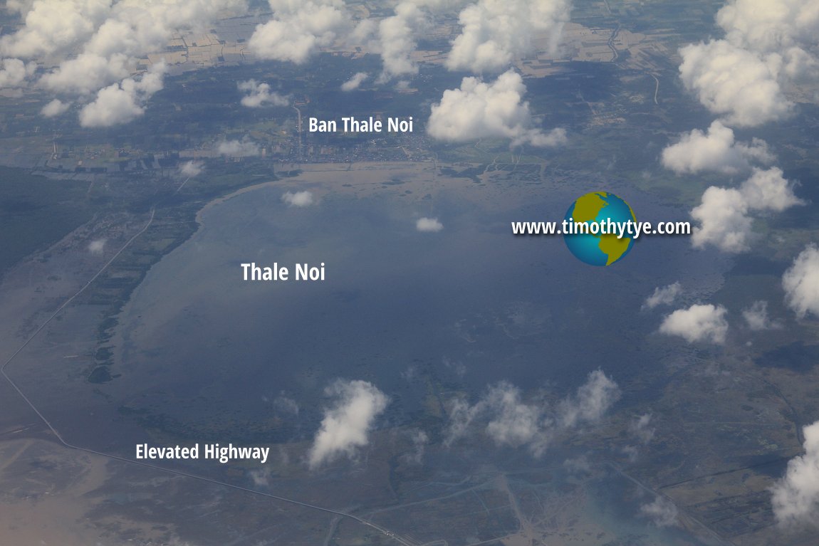 View of Thale Noi from the sky (4 February 2012)
© Timothy Tye

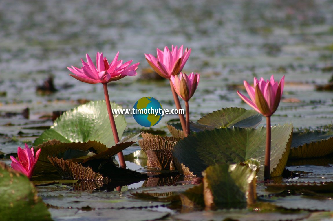 Close up of the water lilies (Nymphaea) at Thale Noi (12 June, 2005)
© Timothy Tye

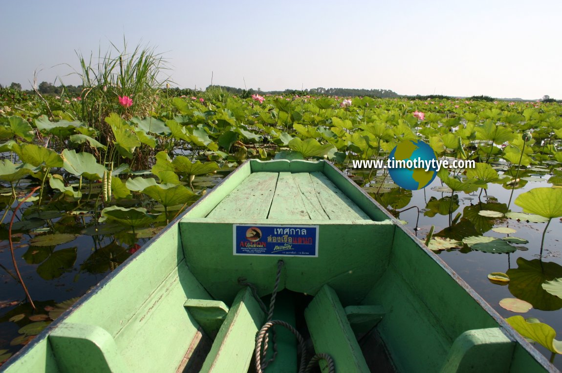 It's a sea of waterlilies for as far as the eye can see. (12 June, 2005)
© Timothy Tye

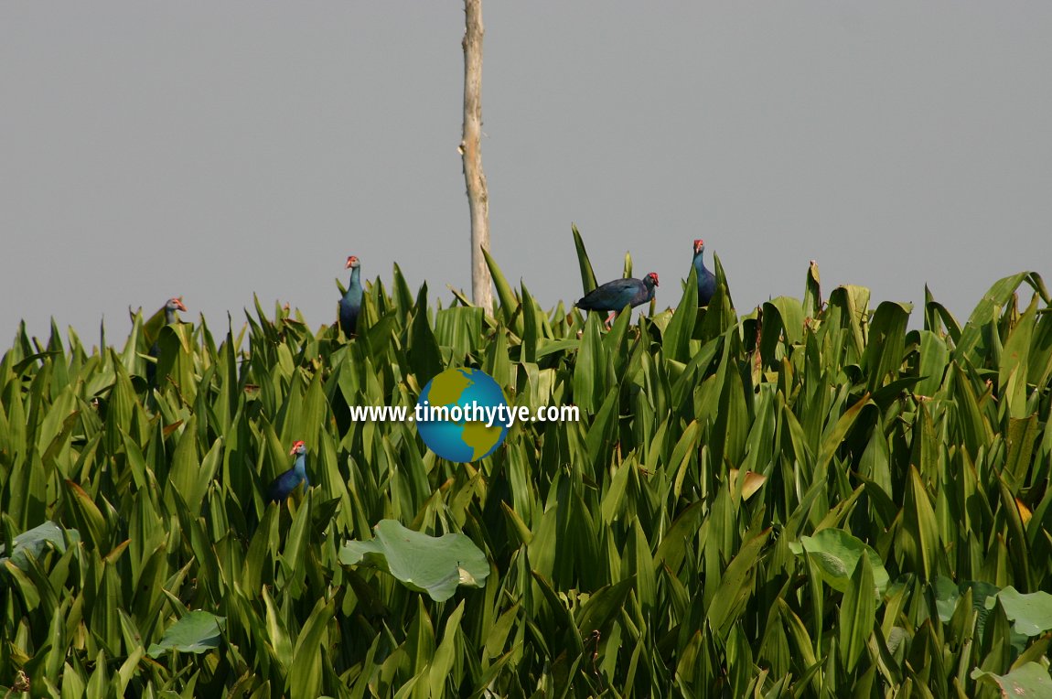 Birds in the bush. (12 June, 2005)
© Timothy Tye

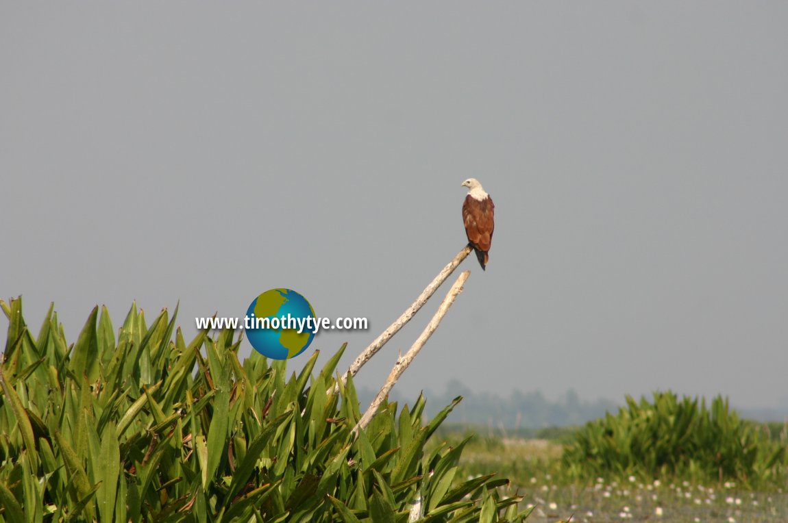 A lone Brahminy kite guards over the lake of tiny white flowers. (12 June, 2005)
© Timothy Tye

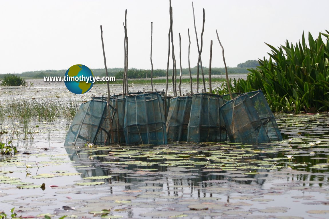 A congregation of fish traps. (12 June, 2005)
© Timothy Tye

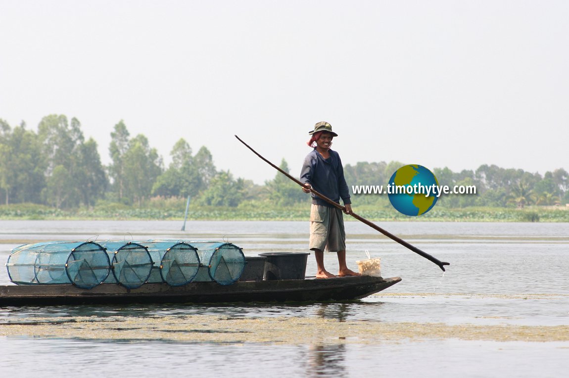 Fisherman with fish traps at Thale Noi (12 June, 2005)
© Timothy Tye

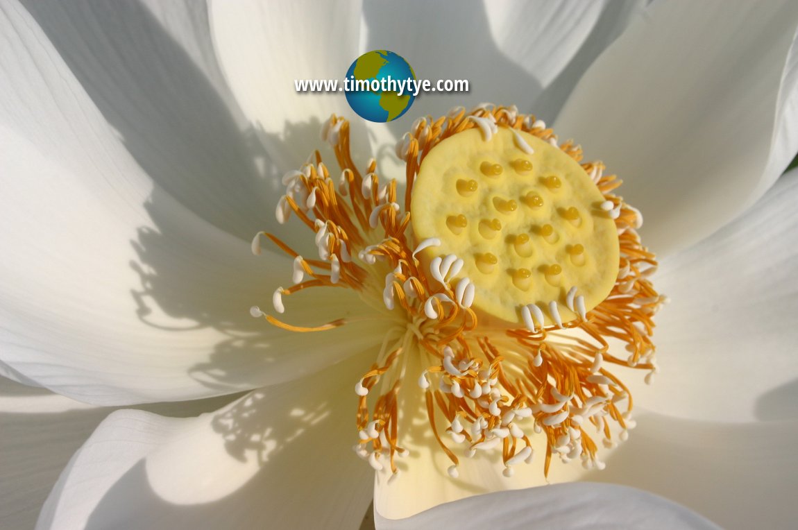 Getting up close with a lotus. (12 June, 2005)
© Timothy Tye

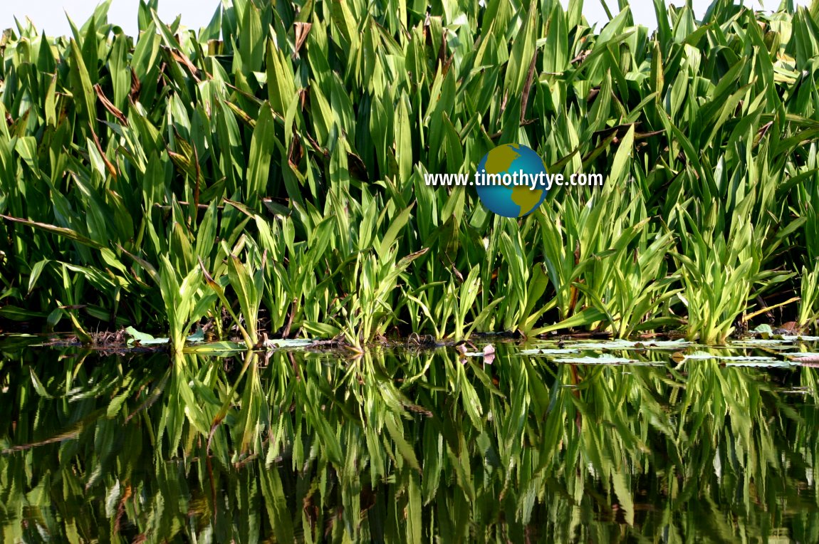 A moment to reflect. (12 June, 2005)
© Timothy Tye

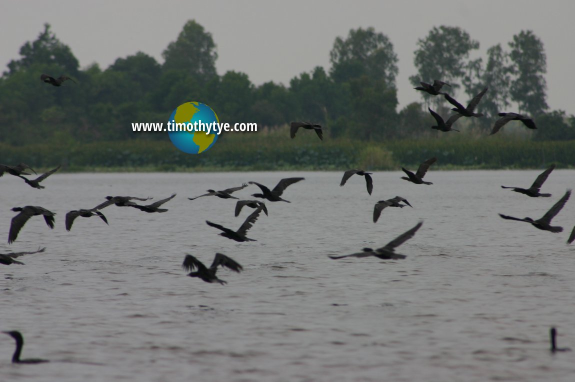 A flock of cormorants at Thale Noi (12 June, 2005)
© Timothy Tye

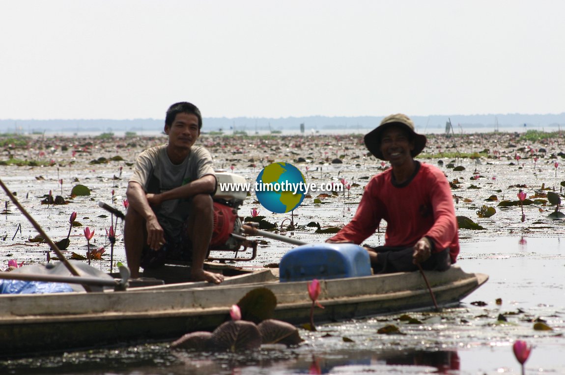 It's all in a day's work for these fishermen. (12 June, 2005)
© Timothy Tye

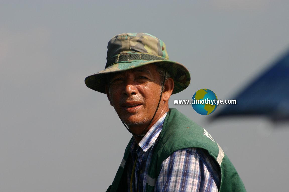 Our Thale Noi boatman has the rugged disposition of a cowboy. (12 June, 2005)
© Timothy Tye

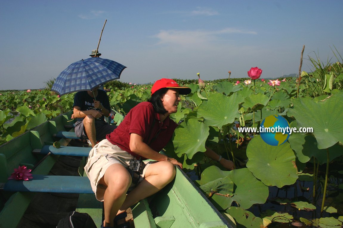 My wife Chooi Yoke leaning over to pluck something. (12 June, 2005)
© Timothy Tye

 And finally, a shot of myself with the lotus (Nelumbo nucifera) of Thale Noi. (12 June, 2005)
© Timothy Tye

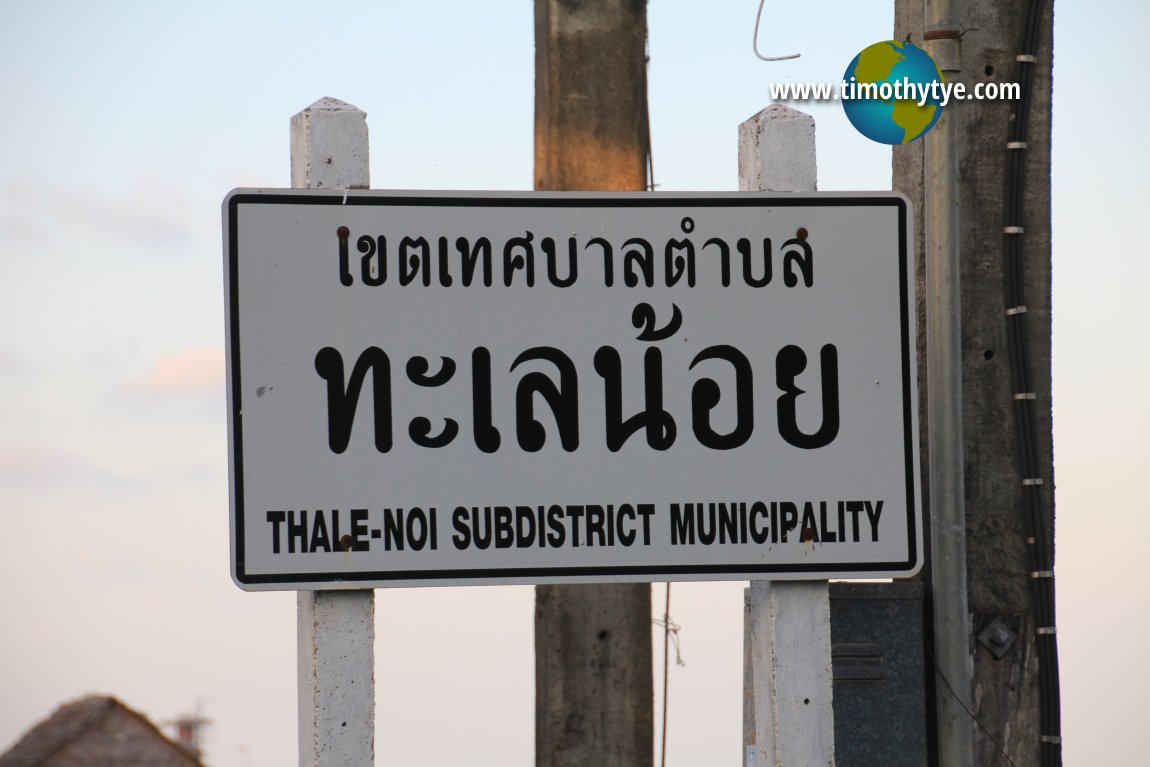 Thale Noi signboard, for the subdistrict municipality. (12 June, 2005)
© Timothy Tye

Directions to Thale Noi
Thale Noi Waterfowl Sanctuary can be reached from Highway 4048 from Amphoe Muang (Phatthalung town) to Amphoe Khanun. Thale Noi is 32 kilometers to the north. You can also reach it from Ranot in Songkhla via the Ban Thale Noi-Ranot Elevated Highway.Here's an aerial view of Thale Noi which I shot from the plane flying between Hatyai and Bangkok. You can see on the lower left of the picture the elevated highway that runs across the lake connecting Ban Thale Noi village with Ranot.
 Latest updates on Penang Travel Tips
 Map of Roads in Penang
Looking for information on Penang? Use this Map of Roads in Penang to zoom in on information about Penang, brought to you road by road.Disclaimer
Please use the information on this page as guidance only. The author endeavours to update the information on this page from time to time, but regrets any inaccuracies if there be any.
Copyright © 2003-2025 Timothy Tye. All Rights Reserved.


 Go Back