 Great Songkhla Lake (12 June, 2005)
Great Songkhla Lake ทะเลสาบสงขลา
 is the name for the largest body of freshwater in Thailand. It covers an area of 1,040 square kilometers. From end to end, the lake measures approximately 80 kilometers while its width is between 20 to 25 kilometers. The eastern half is within Songkhla Province while the western half in Phatthalung Province.
Although it is called a lake, the Great Songkhla Lake is really a lagoon, as there is an outlet into the Gulf of Siam near the city of Songkhla. Due to its large size and expanse it covers, the Great Songkhla Lake can be divided into three portions.
The southern portion of the Great Songkhla Lake is known simply as Songkhla Lake, or Lake Songkhla. Here you find the triangular island of Ko Yo, which is connected to mainland Songkhla Province by the Tinsulanonda Bridge, the longest concrete bridge in Thailand. The people here are fishermen who cover the surface of the lake with stilt houses. These are so numerous that they cover much of the lake, right to the horizon.
The middle portion of Great Songkhla Lake, separated from Songkhla Lake by a 6-kilometer bottleneck, is known as Thale Luang, meaning "big sea". This is an almost empty expense. This is the location where you would find the fishing poles similar to those in use in Kochi, India. (I have so far tried three times to photograph these nets but failed, the most recent attempt thwarted by rough seas). The lake is also known to be the habitat of the Irrawaddy Dolphins, though their numbers have dwindled over the years.
The northern portion of Great Songkhla Lake is called Thale Noi, meaning "small sea". This is a shallow basin where waterlilies and lotuses grow in profusion. Marshland cover much of this portion, providing habitat to local and migratory birds. As such Thale Noi was gazetted as a waterfowl sanctuary. You can take boat rides to view the birds and plants of Thale Noi from Ban Thale Noi, the village on the western shore of the lake.
While Thale Noi has become an increasingly popular tourist destination, Thale Luang remains very much off the beaten path, visited only by the local fishermen. There are a number of look-out points from Phatthalung to see Thale Luang, which is usually a vast uninterrupted expanse. Separating Thale Noi from Thale Luang is Ban Thale Noi-Ranoi Elevated Highway. The timber palace of Her Royal Highness Princess Maha Chakri Sirindhorn is built on stilts over the surface of the lake.
Map of the Great Songkhla Lake
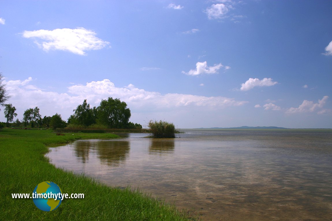 Great Songkhla Lake (12 June, 2005)
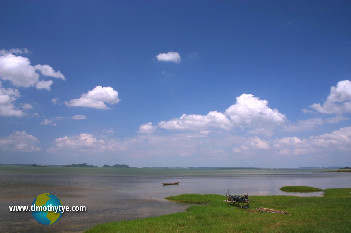 Great Songkhla Lake (12 June, 2005)
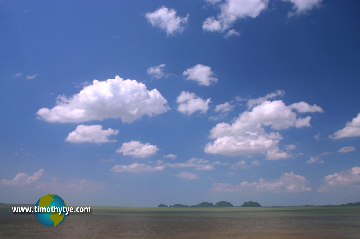 Great Songkhla Lake (12 June, 2005)
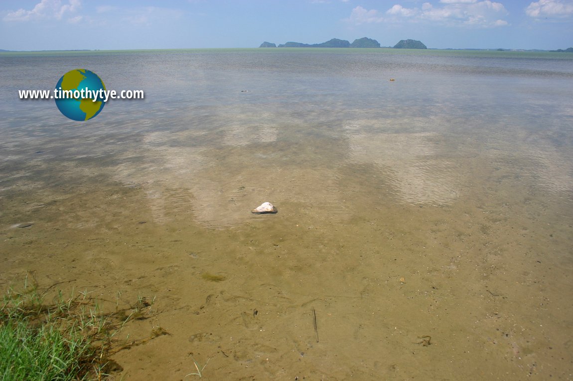 Great Songkhla Lake (12 June, 2005)
 Latest updates on Penang Travel Tips
 Map of Roads in Penang
Looking for information on Penang? Use this Map of Roads in Penang to zoom in on information about Penang, brought to you road by road.Disclaimer
Please use the information on this page as guidance only. The author endeavours to update the information on this page from time to time, but regrets any inaccuracies if there be any.
Copyright © 2003-2025 Timothy Tye. All Rights Reserved.


 Go Back