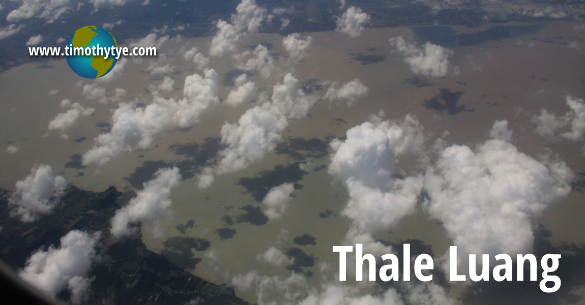
 Aerial view of Thale Luang (4 February, 2012)
Thale Luang is a large freshwater lake in southern Thailand. It is the largest component that forms the Great Songkhla Lake, which is the largest mass of freshwater in the kingdom. Thale Luang is split in the middle between Songkhla Province to the east and Phatthalung Province to the west. When you stand by its shore, you could almost mistaken it for the open sea, as it is so wide.
Technically, Thale Luang is a lagoon, as it is connect via an outlet to the Gulf of Thailand. On its northern rim, it connects with another smaller lake, Thale Noi, via an outlet that permits water to flow either way according to the side. The elevated highway, Thanon Chaloem Phra Kiat 80 Phansa separates these two bodies of water.
Much of Thale Luang remains rural, and the people living around it make a living from fishing and other related activities. They built fishing nets similar to those you would find in Kochi. The biggest cities are the provincial capitals Phatthalung and Songkhla, a distance from Thale Luang itself.
Map of Thale Luang
 Latest updates on Penang Travel Tips
 Map of Roads in Penang
Looking for information on Penang? Use this Map of Roads in Penang to zoom in on information about Penang, brought to you road by road.Disclaimer
Please use the information on this page as guidance only. The author endeavours to update the information on this page from time to time, but regrets any inaccuracies if there be any.
Copyright © 2003-2025 Timothy Tye. All Rights Reserved.

 Go Back