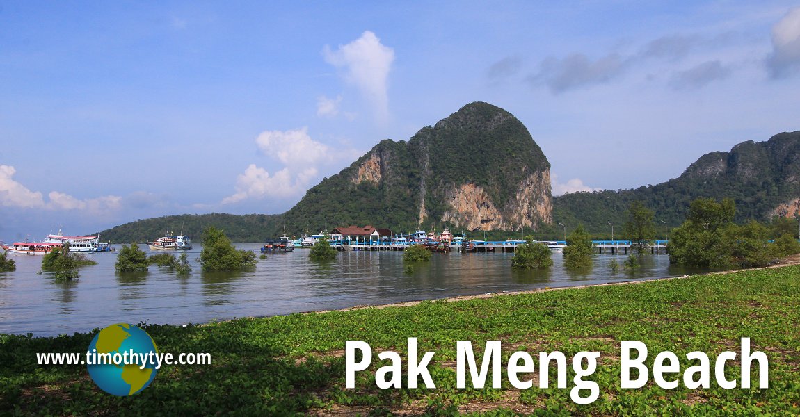
 Pak Meng Beach, Trang (11 May, 2014)
Pak Meng Beach หาดปากเมง
 (GPS: 7.50391, 99.31657), or in Thai, Hat Pak Meng, is a stretch of casuarina-lined beach in Trang Province, Thailand. The beach is in the subdistrict or tambon of Mai Fat, about 40 kilometers from Trang City. The coastal road the follows Pak Meng Beach is about 5 kilometers in length. It ends at a pier where you can take boats to different islands of the Trang archipelago such as Koh Mook and Ko Ngai. There are also a cluster of souvenir shops and travel agent booths at the north end of the beach.
The section of Pak Meng Beach near the pier is lined with parking bays. These can get quite crowded on Thai public holidays, when the area is inundated with local tourists.
Pak Meng Beach, on its own, is not of much interest to foreign tourists. It merely serves as a springboard to boatrides into the Trang archipelago. Looking out from Pak Meng Beach is Ao Pak Meng, a bay sheltered by a cape, at the south of which is Koh Meng, or Meng Island, a limestone outcrop that juts out of the sea.
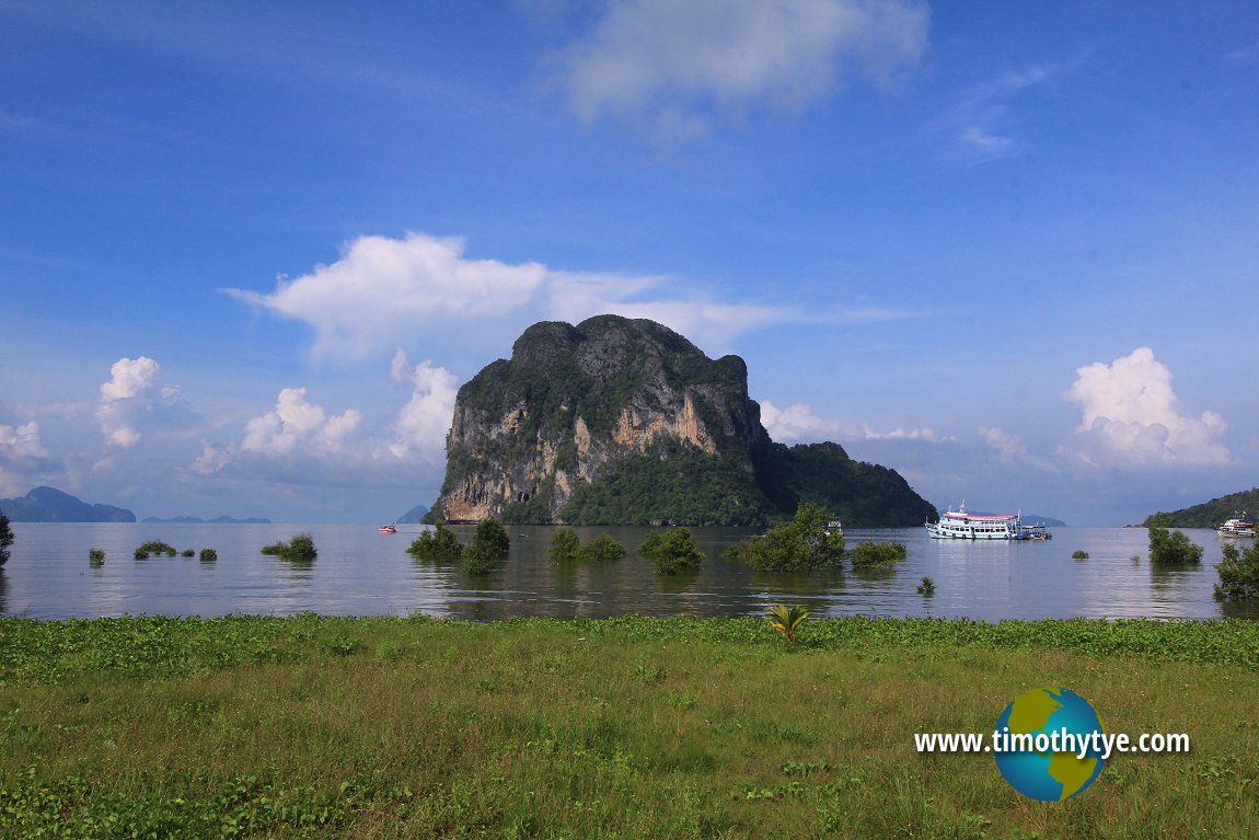 Ko Meng เกาะเมง
  , island off the coast of Pak Meng Beach. (11 May, 2014)
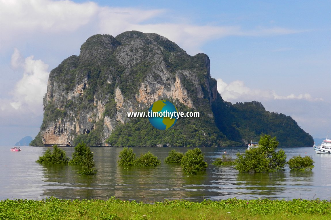 Closer view of Ko Meng เกาะเมง. (11 May, 2014)
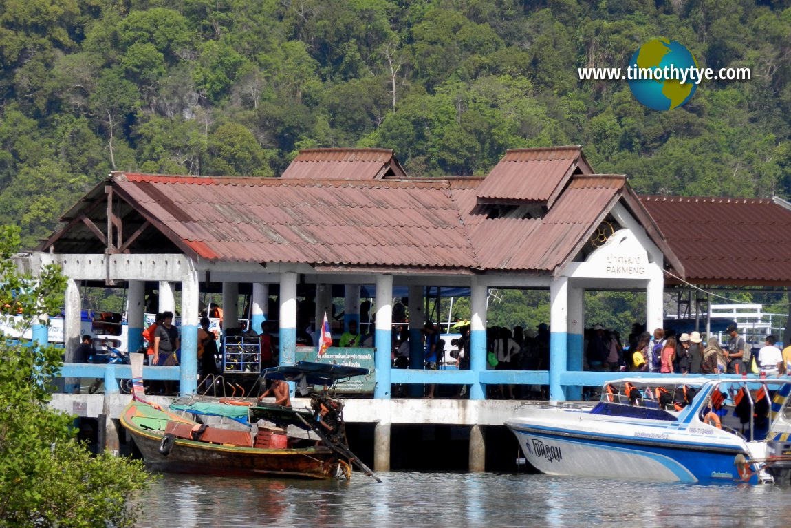 Pak Meng Jetty (11 May, 2014)
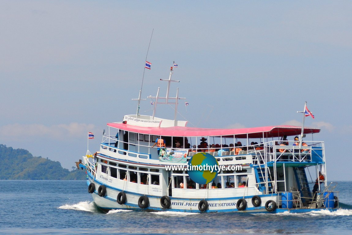 Tourist boat leaving Pak Meng Jetty in Trang (11 May, 2014)
Pak Meng Beach on Google Street View
View of the esplanade at Pak Meng Beach (Mar 2016)Pak Meng Beach is  on the map of Trang Province
 Latest updates on Penang Travel Tips
 Map of Roads in Penang
Looking for information on Penang? Use this Map of Roads in Penang to zoom in on information about Penang, brought to you road by road.Disclaimer
Please use the information on this page as guidance only. The author endeavours to update the information on this page from time to time, but regrets any inaccuracies if there be any.
Copyright © 2003-2025 Timothy Tye. All Rights Reserved.


 Go Back