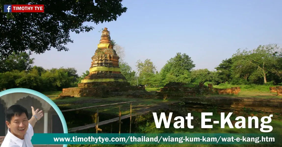
 Wat E-Kang, Wiang Kum Kam (26 October, 2006)
Wat E-Kang (GPS: 18.74985, 98.99933; Thai: วัดอีค่าง
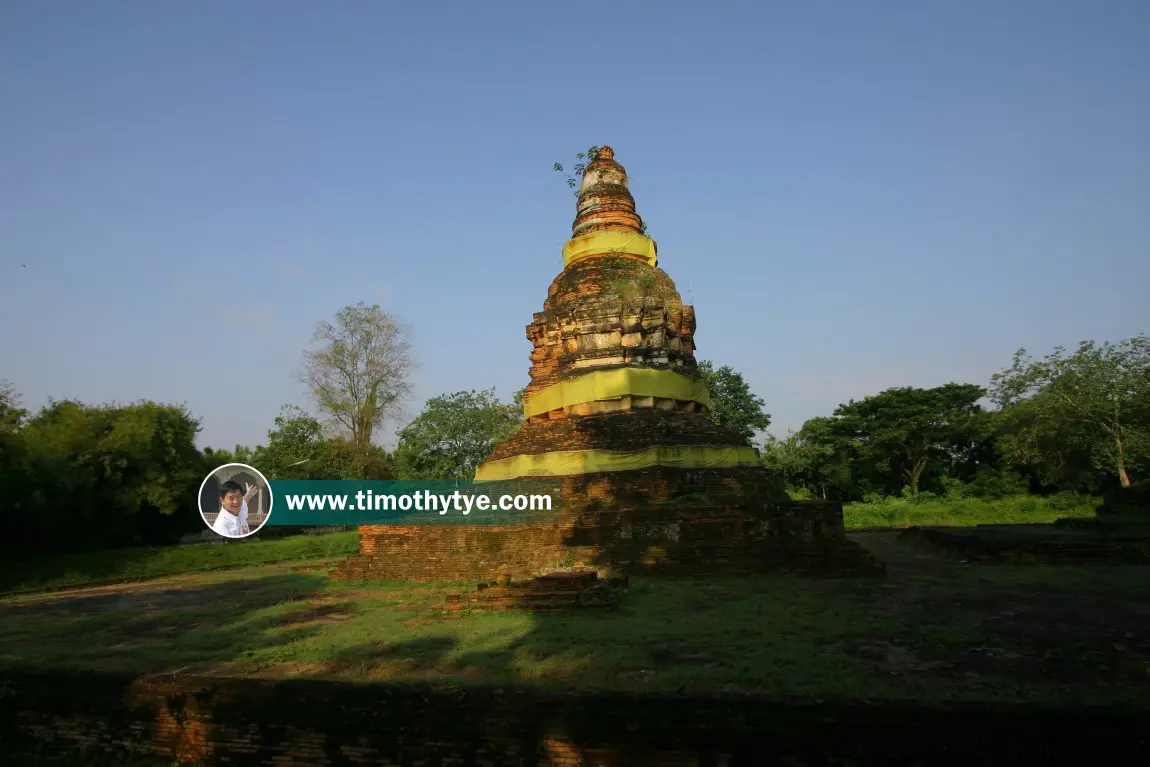
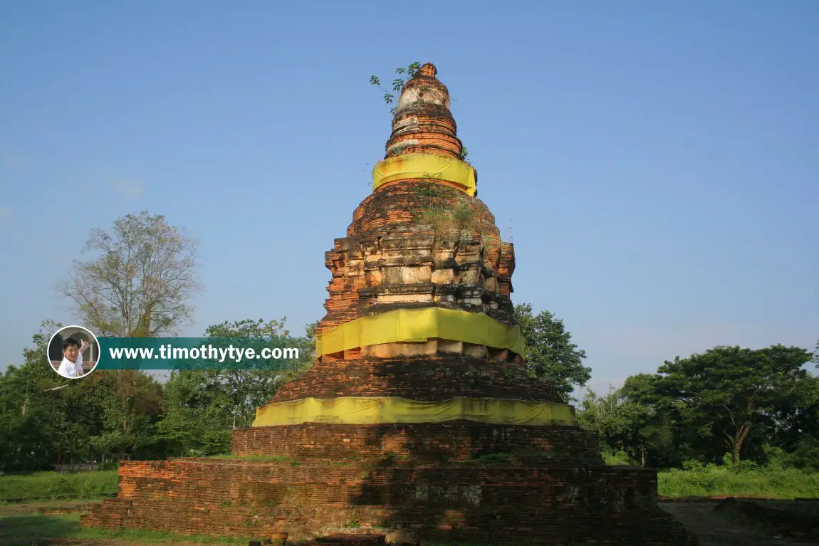
 ) is a Thai Buddhist monastery presently in a state of ruins, located in the historic city of Wiang Kum Kam, in Chiang Mai, Thailand. All that remains today of the monastery is its brick stupa and the base.
The word "kang" means monkey in the northern dialect. This is because the area surrounding this monastery used to be overgrown and teemed with the Cerocopithecinae monkeys.
Thailand's Department of Fine Arts conducted work of this temple in 1985-86. A chedi was discovered behind its viharn, which unusually faces north, towards a branch of the Ping River. The bell-shaped chedi and the viharn share the same base. The base of the chedi is wide enough for pilgrims to circumambulate. Based on remains of the base of the viharn, it can be seen that it was supported by 16 columns. In 2003, the archaeological team found traces of a wall to the west of the chedi.
Discoveries at Wat E-Kang helped archaeologists study the flood pattern at Wiang Kum Kam. Evidence of a great flood taking place in the area could be determined from layers of sediments there. Also discovered here were pieces of terracotta which came from the kilns of Sankampang and Wiangkalong. Based on the architecture of Wat E-Kang, and the fact that tablets written in Fak Kham and Lanna Dharmma alphabets were found, it can be established that Wat E-Kam dates from the 16-17 centuries.
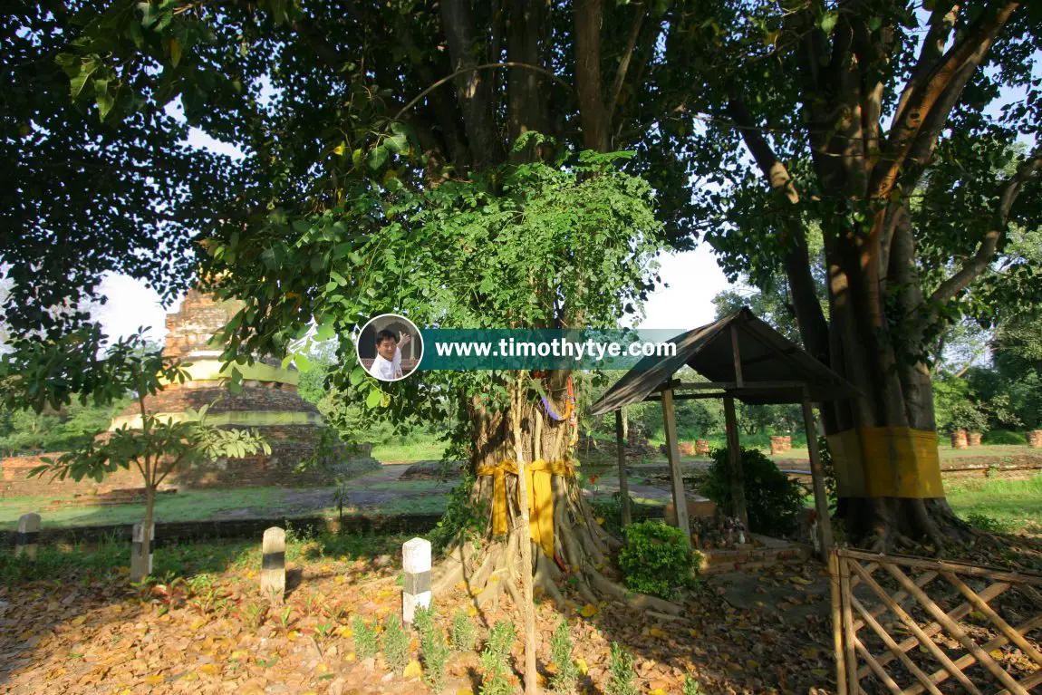
 Wat E-Kang, Wiang Kum Kam (26 October, 2006)
 Wat E-Kang, Wiang Kum Kam (26 October, 2006)
 Wat E-Kang, Wiang Kum Kam (26 October, 2006)
Wat E-Kang on Google Street View
Wat E-Kang (May 2018)Wat E-Kang is  on the map of Wiang Kum Kam
List of Wats in Wiang Kum Kam and Wats in Thailand
 Latest updates on Penang Travel Tips
 Map of Roads in Penang
Looking for information on Penang? Use this Map of Roads in Penang to zoom in on information about Penang, brought to you road by road.Disclaimer
Please use the information on this page as guidance only. The author endeavours to update the information on this page from time to time, but regrets any inaccuracies if there be any.
Copyright © 2003-2025 Timothy Tye. All Rights Reserved.

 Go Back