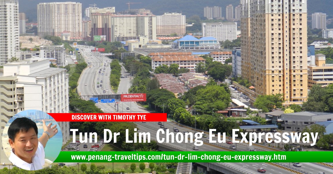
 Tun Dr Lim Chong Eu Expressway (4 June 2011)
B. Melayu
Tun Dr Lim Chong Eu Expressway is an expressway that runs along the eastern coast of Penang Island. Also known as Federal Route 3113, this 17.84 km expressway starts at the junction with Prangin Road Ghaut, across from Weld Quay, and ends in Batu Maung, at the junction with Jalan Batu Maung and Jalan Permatang Damar Laut. The expressway includes the entire lengths of the former Tun Dr Lim Chong Eu Expressway and Bayan Lepas Expressway.
Chief Minister Lim Guan Eng announced the renaming of the expressway on 26 November, in honour of Dr Lim Chong Eu, the second Chief Minister of Penang who passed away on Wednesday, 24 November, 2010. The renaming of the expressway is meaningful to many Penangites as a tribute to the man who personally ushered the state into becoming one of the most developed in the country.
The Tun Dr Lim Chong Eu Expressway is the second road in Penang named after the Lim family, as Tun Dr Lim's father had his name immortalized when Prangin Road was renamed Jalan Dr Lim Chwee Leong.
 Map of Tun Dr Lim Chong Eu Expressway
 Sights along the Tun Dr Lim Chong Eu Expressway
- Berek Polis Marin (GPS: 5.35431, 100.3135)

- Cecil Residensi (GPS: 5.40496, 100.33089)

- Datuk Ali Shrine (GPS: 5.40977, 100.33366)

- E-Gate (GPS: 5.37616, 100.31526)

- Flat Jelutong Indah (GPS: 5.38237, 100.31592)

- Foreshore Apartment (GPS: 5.40609, 100.33007)

- Foreshore Residence (GPS: 5.40557, 100.32995)

- Heng Len Tuah Temple (GPS: 5.41036, 100.33371)

- Jabatan Laut Wilayah Utara (GPS: 5.37307, 100.3141)

- Jelutong Fishermen Wharf (GPS: 5.38833, 100.31943)

- Jelutong Landfill (GPS: 5.38833, 100.31943)

- Jelutong Sewage Treatment Plant (GPS: 5.3953, 100.32075)

- Jeti Jabatan Laut Wilayah Utara (GPS: 5.35582, 100.31469)

- KD Sri Pinang Pasukan Simpanan Sukarela TLDM (GPS: 5.37122, 100.31364)

- Lembaga Lebuhraya Malaysia (GPS: 5.356, 100.31177)

- Menara IJM Land (GPS: 5.37868, 100.31519)

- Metro Avenue (GPS: 5.38833, 100.31943)

- Mutiara Heights Apartment (GPS: 5.38762, 100.31726)

- Mutiara Idaman Apartments (GPS: 5.39038, 100.31836)

- Na Zhuo Ya Wang Temple (GPS: 5.40932, 100.33325)

- Noordin Street Flats (GPS: 5.41049, 100.33393)

- Penang Art District (GPS: 5.40807, 100.333)

- Penang Bridge (GPS: 5.35867, 100.31614)

- Sandilands Condominium (GPS: 5.40513, 100.32852)

- Sri Saujana Apartment (GPS: 5.40708, 100.33436)

- Sungai Pinang Food Court (GPS: 5.39939, 100.32558)

- Sungai Pinang Footbridge (GPS: 5.40392, 100.33042)

- Teong Poh Keong Temple (GPS: 5.40611, 100.33045)

- Menara IJM Land (GPS: 5.37787, 100.31515)

- Second Penang Bridge (GPS: 5.2938, 100.2924)

- The Light Linear (GPS: 5.36502, 100.31525)

- The Light Point (GPS: 5.36247, 100.31564)

- The Sanctuary (GPS: 5.3475, 100.30771)

- The Spring Condominium (GPS: 5.39695, 100.32604)

- Thean Seng Keong Temple (GPS: 5.40751, 100.33179)

- Triuni Residences (GPS: 5.34917, 100.30801)

- Tropicana Bay Residence (GPS: 5.34362, 100.30916)

- Waterside Residence (GPS: 5.37063, 100.31599)

Petrol Station on the Tun Dr Lim Chong Eu Expressway
- Caltex E-Gate (GPS: 5.37493, 100.31508)

- Shell at Jalan Perusahaan Jelutong (GPS: 5.39468, 100.32306)

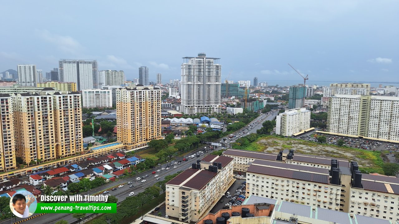
 Lebuhraya Tun Dr Lim Chong Eu (14 December 2023)
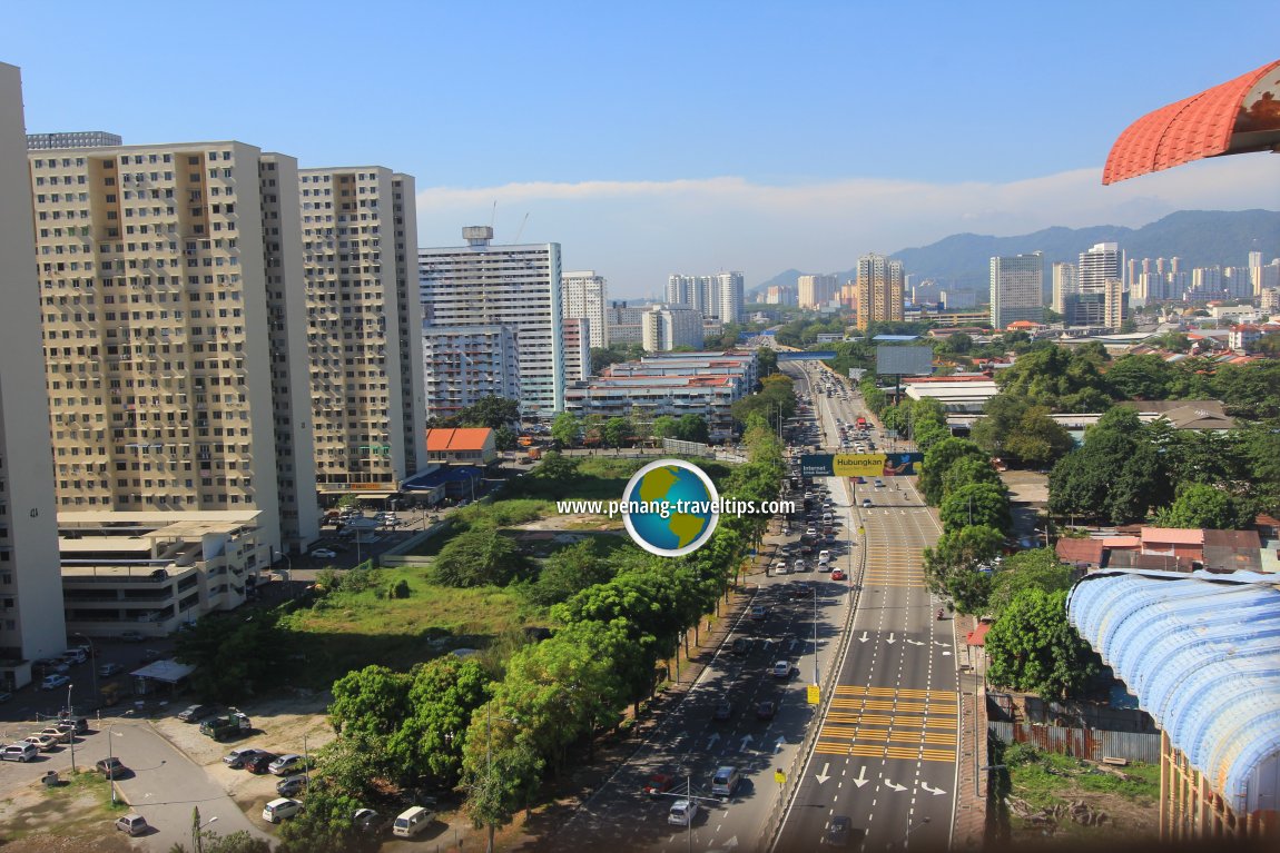
 Tun Dr Lim Chong Eu Expressway, approaching Magazine Road Ghaut junction (29 November 2012)
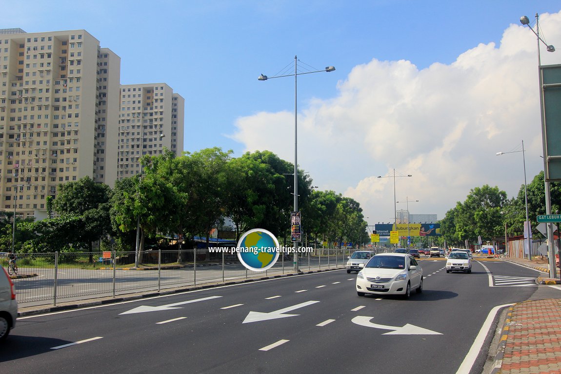
 Tun Dr Lim Chong Eu Expressway entering Inner George Town (6 February 2013)
List of Highways in Malaysia and Expressways in Malaysia

Copyright © 2003-2025 Timothy Tye. All Rights Reserved.

 Go Back