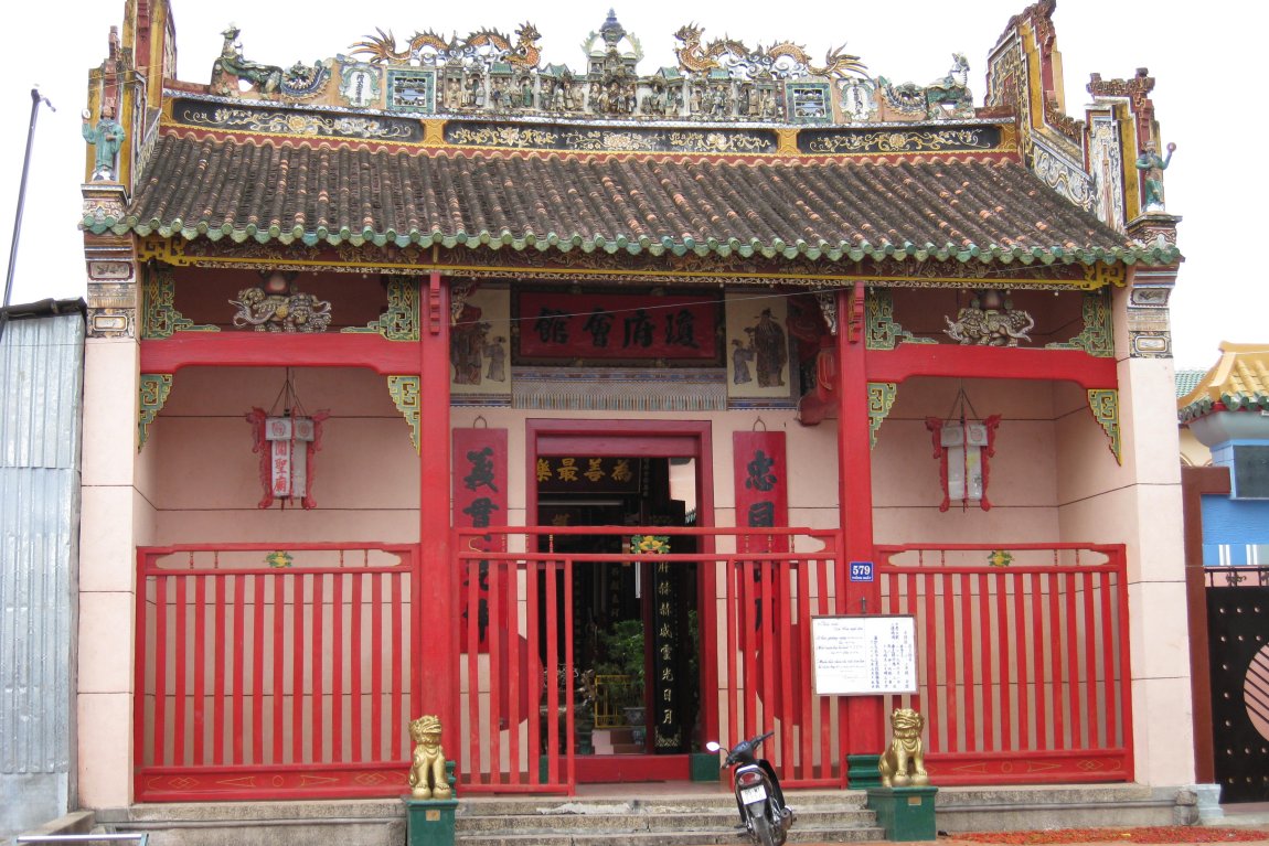
 Chua Ong Chinese Temple in Phan Rang-Thap Cham, Vietnam
Source: https://commons.wikimedia.org/wiki/File:Ch%C3%B9a_%C3%94ng_(Phan_Rang-Th%C3%A1p_Ch%C3%A0m).JPG
Author: Nguyen Thanh Quang

Author: Nguyen Thanh Quang

Phan Rang-Tháp Chàm, also called Panduranga, is a city in southeastern Vietnam. It is the capital of Ninh Thuan Province. The city has a population of 175,000 people (2011 estimate). The name Panduranga refers to the capital of the ancient Champa capital in present-day Phan Rang-Tháp Chàm.
Phan Rang-Tháp Chàm was originally the town of Phan Rang, established in 1917 by Emperor Khai Dinh. In 1976, it was split into two, with Phan Rang in the east and Ninh Hai District and Thap Cham to the west. In 1992, the two halves were again merged to form Phan Rang-Tháp Chàm, and made provincial capital of Ninh Thuan Province. It was granted city status in February, 2007.
The Phan Rang-Tháp Chàm area is renowned for its grape cultivation and textile production. It is located at an important crossroad between National Route 1A which runs between Hanoi and Ho Chi Minh City and National Route 27, which goes westward into the Central Highlands towards Buon Ma Thuot.
Phan Rang-Tháp Chàm is the site for two of the best-preserved Cham monuments. These brick temple towers, though eclipsed by those of Angkor in stature, provides a glimpse at a civilization that was a contemporary of the ancient Khmers, and whose engagement with them was vividly inscribed in the bas-reliefs at Angkor Wat.
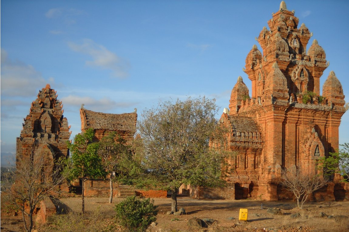
 Po Klaung Garai Champa temple, Phan Rang
Source: https://commons.wikimedia.org/wiki/File:Th%C3%A1p_Po_Klaung_Garai,_Phan_Rang,_Ninh_Thu%E1%BA%ADn.JPG
Author: Dongson*vmvn

Author: Dongson*vmvn

Visiting Phan Rang-Tháp Chàm
You can reach Phan Rang-Tháp Chàm either by road or by rail. The main highway from Hanoi to Ho Chi Minh city passes through it. There are express passenger trains to Phan Rang-Tháp Chàm from Ho Chi Minh city and Da Lat.Places of Interest in Phan Rang-Tháp Chàm
- Ninh Chu Beach: A pleasant stretch of beach lined by casuarina trees about 6 km (4 mi) to the east of Phan Rang.
- Po Klaung Garai: A group of three brick temple-towers built by Jaya Simhavarman III in the 13th century.
- Po Ro Me: Cham monument dating to the 17th century, when the Champa kingdom was only going into decline.
 Latest updates on Penang Travel Tips
 Map of Roads in Penang
Looking for information on Penang? Use this Map of Roads in Penang to zoom in on information about Penang, brought to you road by road.
Copyright © 2003-2025 Timothy Tye. All Rights Reserved.

 Go Back